Dwingeloo
Located in Gemeente Westerveld, Drenthe Coordinates: 52°50′03″ N 6°22′10″ E
- Population
- 2,430
- 2.4K
- Elevation
- 11 m
- above sea level
- Local time
- UTC+01:00
- Europe/Amsterdam · UTC+01:00
About Dwingeloo
Dwingeloo is a village. Location: Gemeente Westerveld, Drenthe. Population: 2,430. Elevation: 11 m.
Dwingeloo (Dutch: [ˈdʋɪŋəloː]) is a village halfway between Meppel and Assen in the Dutch province of Drenthe. It is a part of the municipality of Westerveld. The village is known internationally because of the radio telescope of the Dwingeloo Radio Observatory (which at the time of its completion in 1956 was the largest radio telescope in the world), located on the edge of the Dwingeloo Heath, 3 km south of the village.
Read more on Wikipedia Text: Wikipedia contributors · CC BY-SA 4.0 · shortened
At a glance
- Area
- 95 ha
Source: Wikidata
In comparison
- No. 2 of 22 places in Gemeente Westerveld by population
- Nearest larger town: Ruinen, 8 km S
Nearby attractions & nature
Everything nearby-
Bendersche Berg Mountain, Gemeente Westerveld4.8 km S
-
Havelterberg Mountain, Gemeente Westerveld11 km SW
-
Hunnenkloosterberg Mountain, Gemeente De Wolden11 km S
-
Boschberg Mountain, Ooststellingwerf Municipality13 km N
-
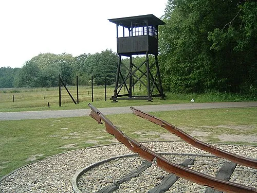 Police Custody Camp Westerbork Historic site, Gemeente Midden-Drenthe16 km E
-
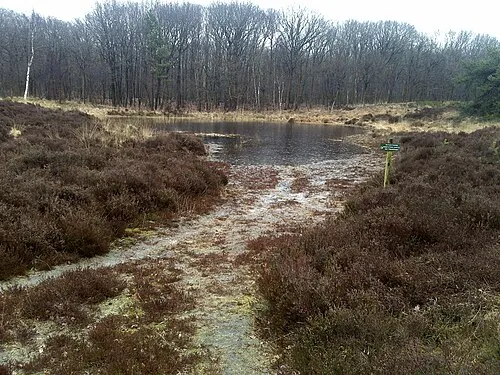 Kiekenberg Mountain, Heerenveen Municipality23 km NW
Sources & licences
Data last updated: · 2 independent sources