Het Hen
Located in Ameland Municipalitye, Friesland Coordinates: 53°28′00″ N 5°56′00″ E
- Elevation
- 0 m
- above sea level
- Local time
- UTC+01:00
- Europe/Amsterdam · UTC+01:00
About Het Hen
Het Hen is a beach. Location: Ameland Municipalitye, Friesland.
Nearest towns and villages
Nearby attractions & nature
Everything nearby-
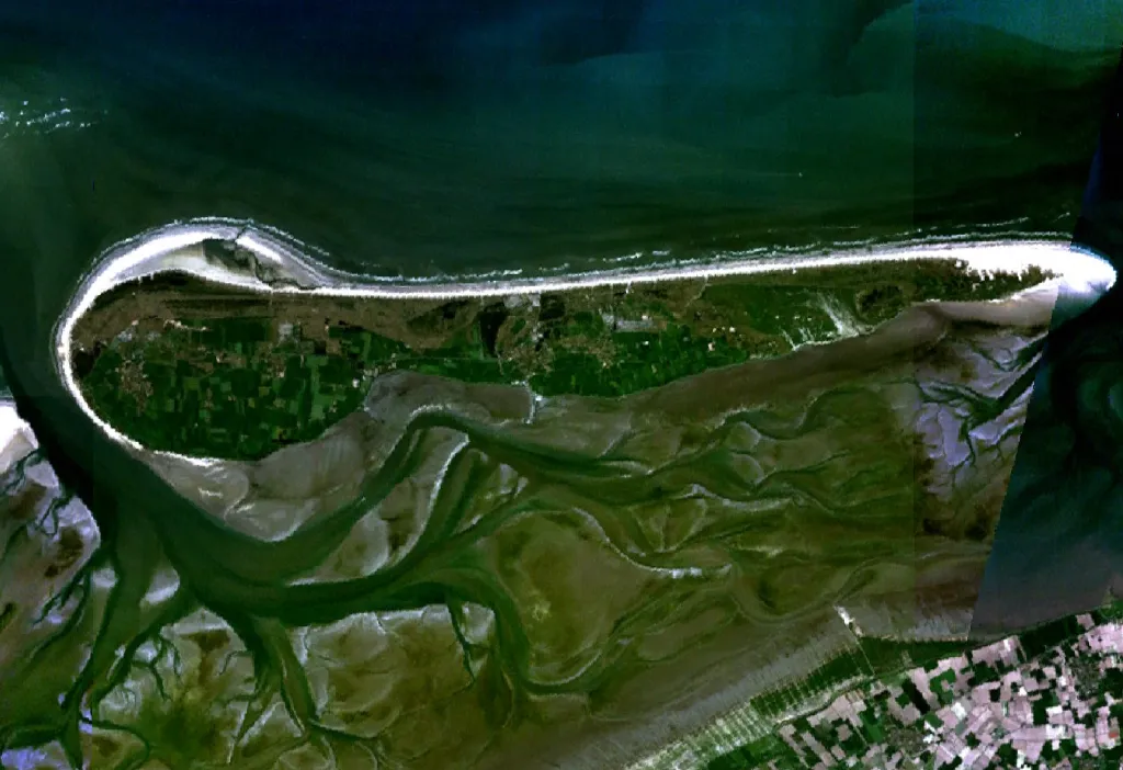 Ameland Island, Friesland9.6 km W
-
Beach Ameland Beach, Ameland Municipalitye12 km W
-
Het Rif Beach, Friesland13 km E
-
Oosterstrand Beach, Schiermonnikoog Municipality22 km E
Sources & licences
Data last updated: · 2 independent sources