Goëngahuizen
Located in Smallingerland Municipality, Friesland Coordinates: 53°04′42″ N 5°53′25″ E
- Population
- 55
- 55
- Elevation
- -1 m
- above sea level
- Local time
- UTC+01:00
- Europe/Amsterdam · UTC+01:00
About Goëngahuizen
Goëngahuizen is a village. Location: Smallingerland Municipality, Friesland. Population: 55. Elevation: -1 m.
Goëngahuizen (West Frisian: Goaiïngahuzen) is a hamlet in Smallingerland in the province of Friesland, the Netherlands. It had a population of around 58 in January 2017. The village was first mentioned in 1573 as Gonyehuisen, and means "settlement of the Goinga family". Goëngahuizen is an isolated farmers community. Some peat excavation had taken place in the south of Goëngahuizen. It has its own place name signs.
Read more on Wikipedia Text: Wikipedia contributors · CC BY-SA 4.0 · shortened
In comparison
- No. 14 of 15 places in Smallingerland Municipality by population
- Nearest larger town: Aldeboarn, 3 km S
Nearby attractions & nature
Everything nearby-
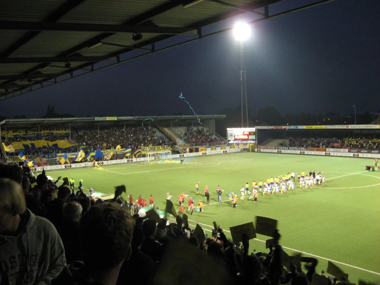 Cambuur Stadion Landmark, Leeuwarden Municipality15 km N
-
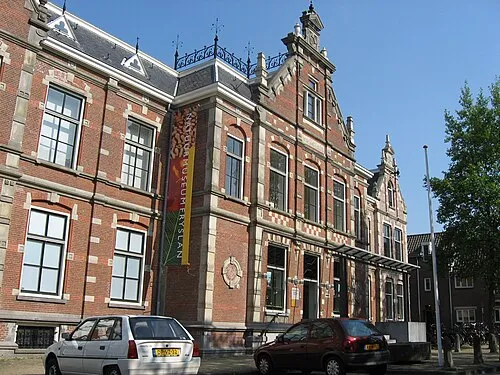 Natuurmuseum Fryslân Museum, Leeuwarden Municipality15 km NW
-
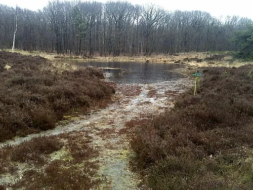 Kiekenberg Mountain, Heerenveen Municipality20 km SE
-
Leeuwarden Concentration Camp Historic site, Leeuwarden Municipality15 km NW
Sources & licences
Data last updated: · 2 independent sources