Franeker
Local name: Frjentsjer
Located in Waadhoeke, Friesland Coordinates: 53°11′08″ N 5°32′28″ E
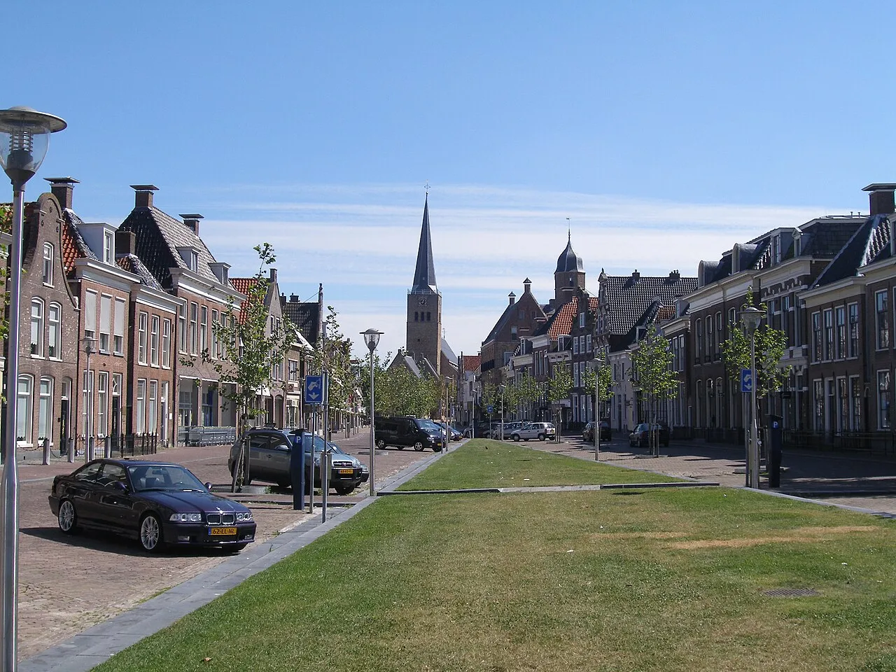
- Population
- 12,996
- 13K
- Elevation
- 4 m
- above sea level
- Local time
- UTC+01:00
- Europe/Amsterdam · UTC+01:00
About Franeker
Franeker is a town. Location: Waadhoeke, Friesland. Population: 12,996. Elevation: 4 m.
Franeker (Dutch pronunciation: [ˈfraːnəkər] ; West Frisian: Frjentsjer [ˈfrjɛntsjər]) is one of the eleven historical cities of Friesland and capital of the municipality of Waadhoeke. It is located north of the Van Harinxmakanaal and about 20 km (12 mi) west of Leeuwarden. As of 2023, it had 13,015 inhabitants. World Heritage Site the Eise Eisinga Planetarium, established in 1781, is located in the city.
Read more on Wikipedia Text: Wikipedia contributors · CC BY-SA 4.0 · shortened
In comparison
- Most populous of 39 places in Waadhoeke
- Nearest larger town: Harlingen, 8 km W
Nearby attractions & nature
Everything nearby-
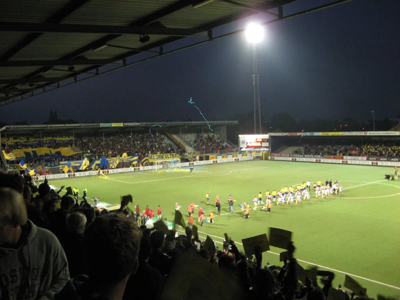 Cambuur Stadion Landmark, Leeuwarden Municipality18 km E
-
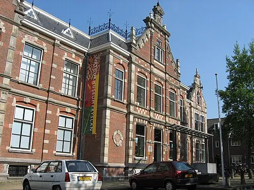 Natuurmuseum Fryslân Museum, Leeuwarden Municipality17 km E
-
Leeuwarden Concentration Camp Historic site, Leeuwarden Municipality17 km E
Sources & licences
Data last updated: · 2 independent sources