Sint Jacobiparochie
Located in Waadhoeke, Friesland Coordinates: 53°16′22″ N 5°36′13″ E
- Population
- 1,380
- 1.4K
- Elevation
- 3 m
- above sea level
- Local time
- UTC+01:00
- Europe/Amsterdam · UTC+01:00
About Sint Jacobiparochie
Sint Jacobiparochie is a village. Location: Waadhoeke, Friesland. Population: 1,380. Elevation: 3 m.
Sint Jacobiparochie (Dutch: [sɪɲ tɕaːˈkoːbipaːˌrɔxi]; West Frisian and Bildts: Sint-Jabik) is a village in the municipality of Waadhoeke in Friesland, the Netherlands. It lies about 13 km north of Franeker and had approximately 1,365 inhabitants in January 2017.
Read more on Wikipedia Text: Wikipedia contributors · CC BY-SA 4.0 · shortened
In comparison
- No. 8 of 39 places in Waadhoeke by population
- Nearest larger town: Minnertsga, 2 km S
Nearby attractions & nature
Everything nearby-
 Cambuur Stadion Landmark, Leeuwarden Municipality16 km SE
-
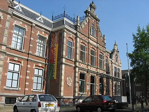 Natuurmuseum Fryslân Museum, Leeuwarden Municipality15 km SE
-
Leeuwarden Concentration Camp Historic site, Leeuwarden Municipality15 km SE
-
Beach Ameland Beach, Ameland Municipalitye23 km NE
-
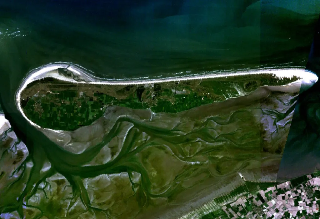 Ameland Island, Friesland23 km NE
Sources & licences
Data last updated: · 2 independent sources