Wier
Located in Waadhoeke, Friesland Coordinates: 53°15′05″ N 5°37′24″ E
- Population
- 200
- 200
- Elevation
- 2 m
- above sea level
- Local time
- UTC+01:00
- Europe/Amsterdam · UTC+01:00
About Wier
Wier is a village. Location: Waadhoeke, Friesland. Population: 200. Elevation: 2 m.
Wier is a village in Waadhoeke municipality in the province of Friesland, the Netherlands. It had a population of 210 in January 2017.
Read more on Wikipedia Text: Wikipedia contributors · CC BY-SA 4.0 · shortened
In comparison
- No. 27 of 39 places in Waadhoeke by population
- Nearest larger town: Minnertsga, 2 km W
Nearby attractions & nature
Everything nearby-
 Cambuur Stadion Landmark, Leeuwarden Municipality14 km E
-
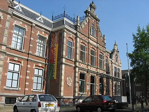 Natuurmuseum Fryslân Museum, Leeuwarden Municipality13 km SE
-
Leeuwarden Concentration Camp Historic site, Leeuwarden Municipality13 km SE
-
Beach Ameland Beach, Ameland Municipalitye25 km N
-
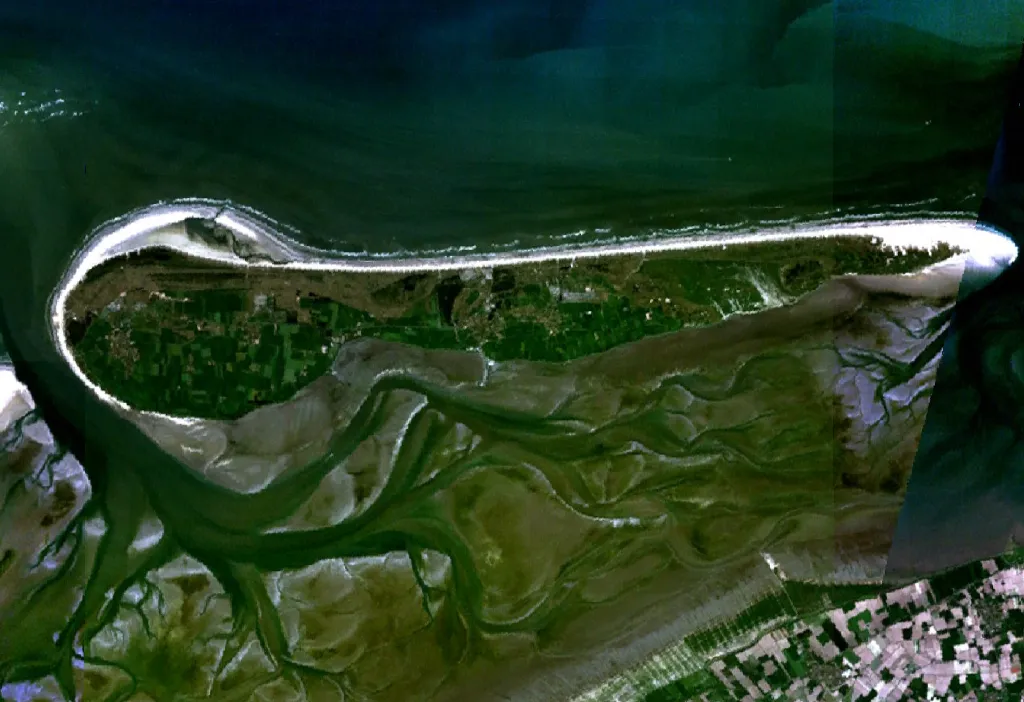 Ameland Island, Friesland25 km NE
Sources & licences
Data last updated: · 2 independent sources