Steenenberg
Located in Ede Municipality, Gelderland Coordinates: 52°05′46″ N 5°39′37″ E
- Elevation
- 47 m
- above sea level
- Local time
- UTC+01:00
- Europe/Amsterdam · UTC+01:00
About Steenenberg
Steenenberg is a mountain. Location: Ede Municipality, Gelderland. Elevation: 47 m.
In comparison
- No. 50 of 122 mountains in The Netherlands by elevation
- 6 sights and natural places within 10 km Scheleberg, Galgenberg
Nearest towns and villages
-
 Lunteren Town, Ede Municipality2.9 km SW
-
Wekerom Village, Ede Municipality4.1 km NE
-
Doesburg Village, Ede Municipality4.4 km SW
-
Veldhuizen Neighbourhood, Ede Municipality5.9 km S
-
Meulunteren Village, Ede Municipality1.9 km NW
-
Westeneng Village, Ede Municipality5.1 km NE
Nearby attractions & nature
Everything nearby-
Scheleberg Mountain, Ede Municipality0.9 km SE
-
Galgenberg Mountain, Ede Municipality1.6 km SW
-
Drieberg Mountain, Ede Municipality6.4 km SE
-
Valenberg Mountain, Ede Municipality6.7 km SE
-
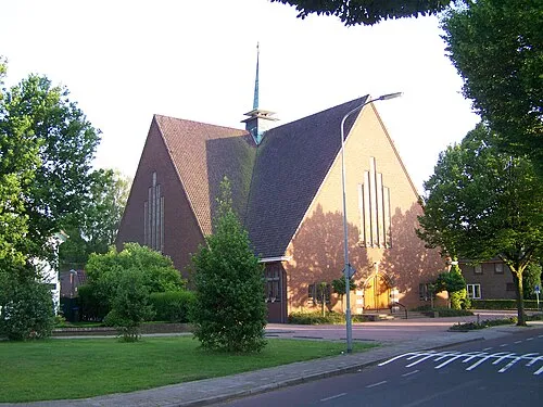 Nieuwe Kerk Attraction, Ede Municipality6.6 km S
-
Franse Berg Mountain, Ede Municipality11 km E
-
Ossenberg Mountain, Ede Municipality12 km E
-
Kompagnieberg Mountain, Ede Municipality13 km E
Sources & licences
Data last updated: · 2 independent sources