Loo
Located in Gemeente Duiven, Gelderland Coordinates: 51°55′45″ N 5°59′25″ E
- Elevation
- 11 m
- above sea level
- Local time
- UTC+01:00
- Europe/Amsterdam · UTC+01:00
About Loo
Loo is a village. Location: Gemeente Duiven, Gelderland. Elevation: 11 m.
Loo is a village in the municipality of Duiven in the province of Gelderland, the Netherlands. The village has a ferry connection to Huissen. A couple of houses of Loo are part of Huissen, Lingewaard, because they were on a former river island which used to belong the Duchy of Cleves.
Read more on Wikipedia Text: Wikipedia contributors · CC BY-SA 4.0 · shortened
In comparison
- Nearest larger town: Groessen, 2 km E
- 7 sights and natural places within 10 km Oude Rijn, Fort Pannerden
Nearby attractions & nature
Everything nearby-
Oude Rijn River, Germany2.3 km SE
-
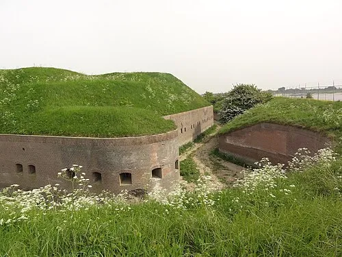 Fort Pannerden Historic site, Gemeente Lingewaard6 km SE
-
 Nelson Mandelabrug Landmark, Arnhem Municipality8.3 km NW
-
Ossenberg Mountain, Rheden Municipality8.6 km N
-
 Waalbrug Landmark, Nijmegen Municipality12 km SW
-
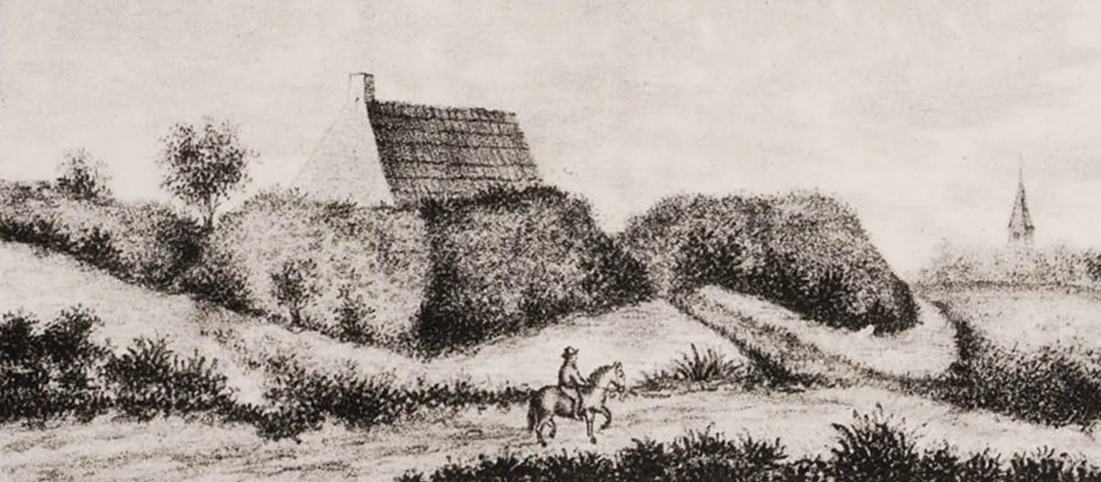 Breeberg Mountain, Rozendaal Municipality9.2 km N
Sources & licences
Data last updated: · 2 independent sources