Aalbeek
Located in Beekdaelen, Limburg Coordinates: 50°54′00″ N 5°51′05″ E
- Population
- 275
- 275
- Elevation
- 125 m
- above sea level
- Local time
- UTC+01:00
- Europe/Amsterdam · UTC+01:00
About Aalbeek
Aalbeek is a village. Location: Beekdaelen, Limburg. Population: 275. Elevation: 125 m.
Aalbeek (Dutch: [ˈaːlbeːk]; Limburgish: Aolbaek) is a hamlet in the municipality of Beekdaelen in the province of Limburg in the Netherlands. Administratively, it is part of the village of Hulsberg. Aalbeek consists of a winding strap of approximately 115 houses and farms in a dry valley, surrounded by agricultural and horticultural areas and nature.
Read more on Wikipedia Text: Wikipedia contributors · CC BY-SA 4.0 · shortened
In comparison
- No. 19 of 22 places in Beekdaelen by population
- Nearest larger town: Hulsberg, 1 km S
- 6 sights and natural places within 10 km Kasteel Haeren, Kasteel Hoensbroek
Nearby attractions & nature
Everything nearby-
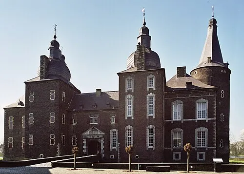 Kasteel Hoensbroek Historic site, Gemeente Heerlen5.1 km E
-
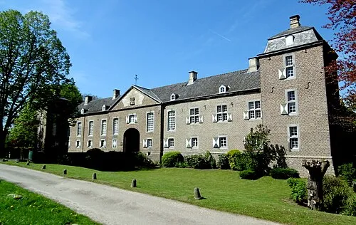 Kasteel Haeren Historic site, Gemeente Voerendaal5 km SE
-
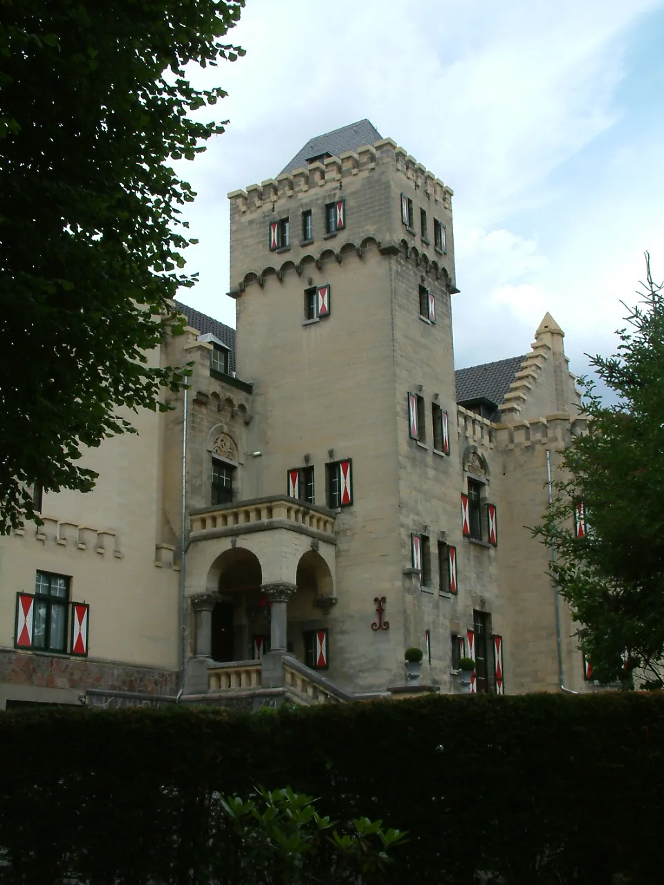 Kasteel Geulzicht Historic site, Valkenburg aan de Geul5.7 km SW
-
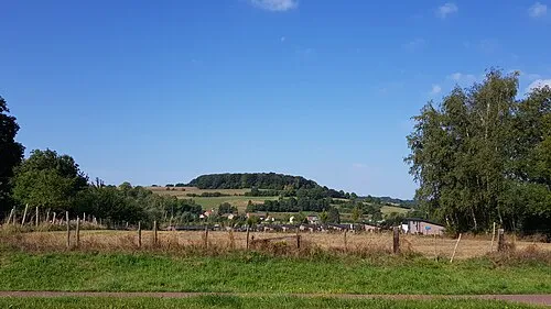 Sousberg Mountain, Valkenburg aan de Geul6.1 km S
-
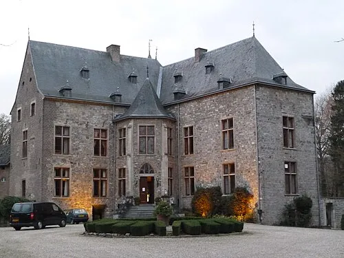 Kasteel Wittem Historic site, Gulpen-Wittem10 km SE
-
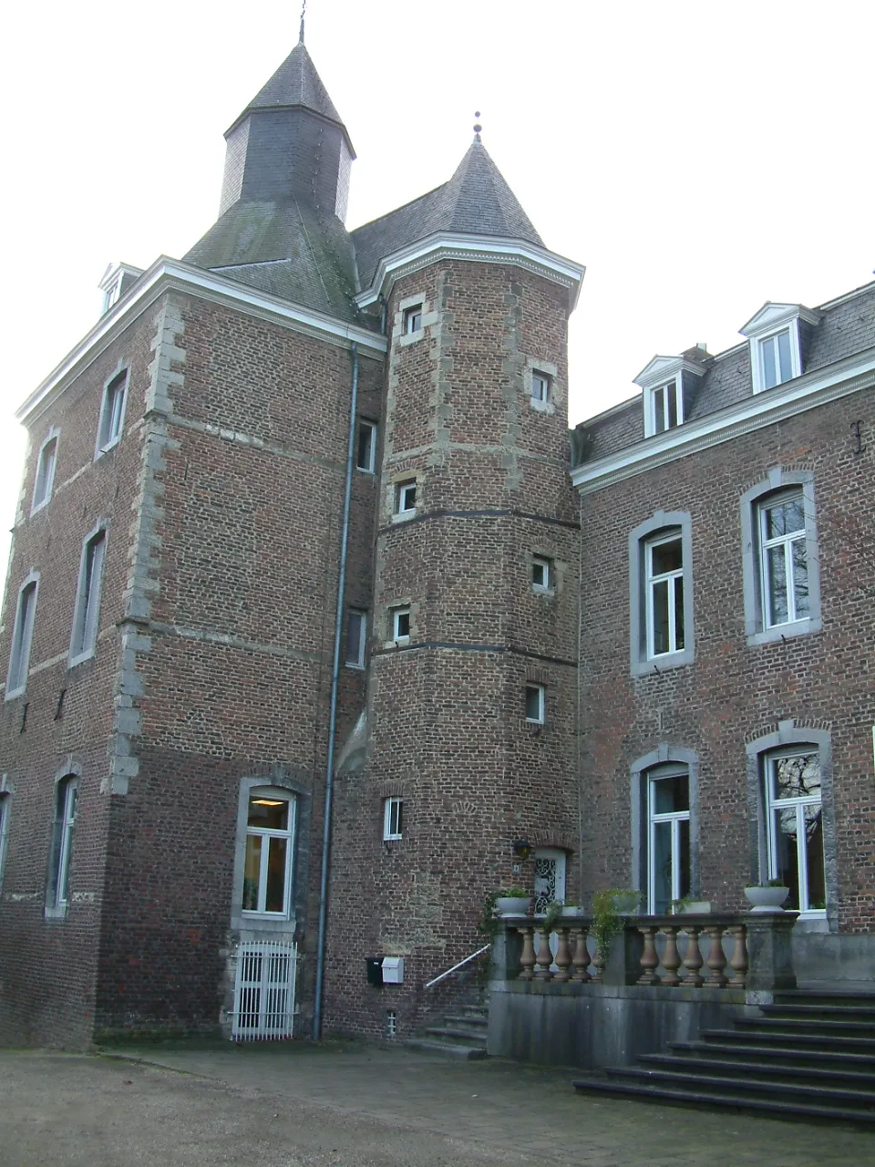 Kasteel Nijswiller Historic site, Gulpen-Wittem13 km SE
Sources & licences
Data last updated: · 2 independent sources