Maastricht Municipality
Located in Limburg, The Netherlands Coordinates: 50°51′00″ N 5°42′00″ E
- Population
- 122,723
- 122.7K
- Elevation
- 52 m
- above sea level
- Local time
- UTC+01:00
- Europe/Amsterdam · UTC+01:00
- Places inside
- 19
- listed under Maastricht Municipality
About Maastricht Municipality
Maastricht Municipality is a district. Location: Limburg, The Netherlands. Population: 122,723.
In comparison
- 10 sights and natural places within 10 km Saint Peter Fort, Château Neercanne
- Listed here: Neighbourhood: 13, Village: 3, City: 1, Historic site: 1
Places in Maastricht Municipality
19 places-
Maastricht City122.4K
-
Heer Neighbourhood7.6K
-
Scharn Neighbourhood6.5K
-
Amby Town6.5K
-
De Heeg Neighbourhood6.3K
-
Malberg Neighbourhood5.3K
-
Heugem Neighbourhood4.6K
-
Belfort Neighbourhood2.6K
-
Pottenberg Neighbourhood2.4K
-
Limmel Neighbourhood2.4K
-
Oud-Caberg Neighbourhood1.9K
-
Borgharen Village1.7K
-
Biesland Neighbourhood1.5K
-
Wolder Neighbourhood1.4K
-
Itteren Village930
-
Sint Pieter Neighbourhood145
-
Mariënwaard Village
-
Saint Peter Fort Historic site
-
Wijk Neighbourhood
Nearby attractions & nature
Everything nearby-
Château Neercanne Historic site, Limburg Province4.2 km SW
-
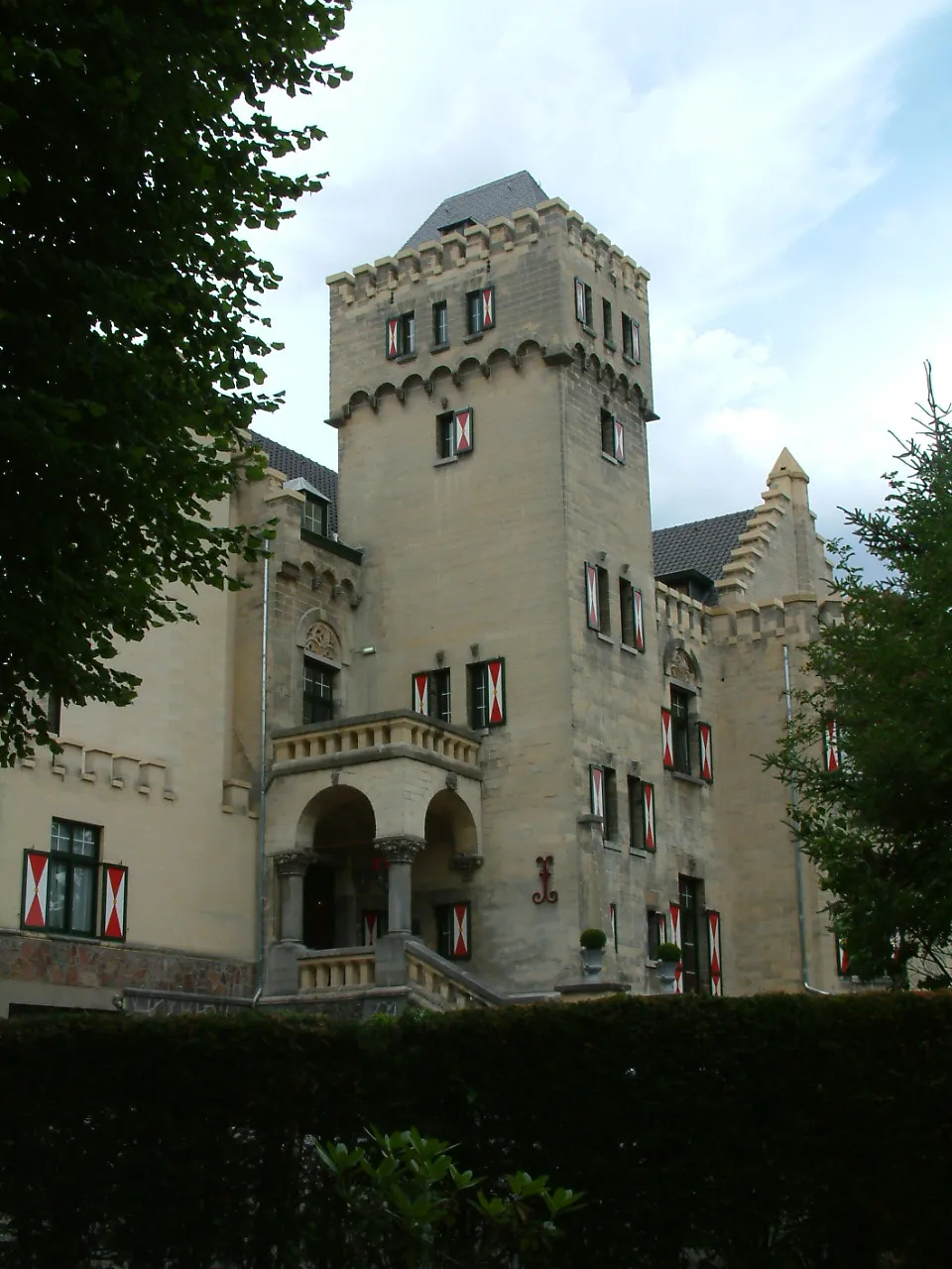 Kasteel Geulzicht Historic site, Valkenburg aan de Geul6.6 km E
-
Heeswater River, Limburg Province4.7 km W
-
Gueule River, Belgium5.7 km N
-
Molenbeek River, Limburg Province5.7 km N
-
Asbeek River, Belgium6 km NW
Sources & licences
Data last updated: