Lemiers
Located in Vaals Municipality, Limburg Coordinates: 50°47′09″ N 5°59′35″ E
- Population
- 720
- 720
- Elevation
- 157 m
- above sea level
- Local time
- UTC+01:00
- Europe/Amsterdam · UTC+01:00
About Lemiers
Lemiers is a village. Location: Vaals Municipality, Limburg. Population: 720. Elevation: 157 m.
Lemiers (Dutch: [ləˈmiːrs]; Ripuarian: Lemieësj [ləˈmiə̯ʃ]) is a village in the Dutch province of Limburg. It lies directly north-west of Vaals. The village sits on the Dutch-German border and part of the settlement is on German territory. The largest, Dutch part belongs to the municipality of Vaals. The smaller German part of town, separated by a small stream, is part of the adjoining German city of Aachen. The current day center of the village stretches along both sides of the N278 from Maastricht to Vaals.
Read more on Wikipedia Text: Wikipedia contributors · CC BY-SA 4.0 · shortened
In comparison
- No. 3 of 8 places in Vaals Municipality by population
- Nearest larger town: Vijlen, 2 km W
- 31 sights and natural places within 10 km Schneeberg, Kasteel Nijswiller
Nearby attractions & nature
Everything nearby-
Schneeberg Mountain, Aachen1.7 km E
-
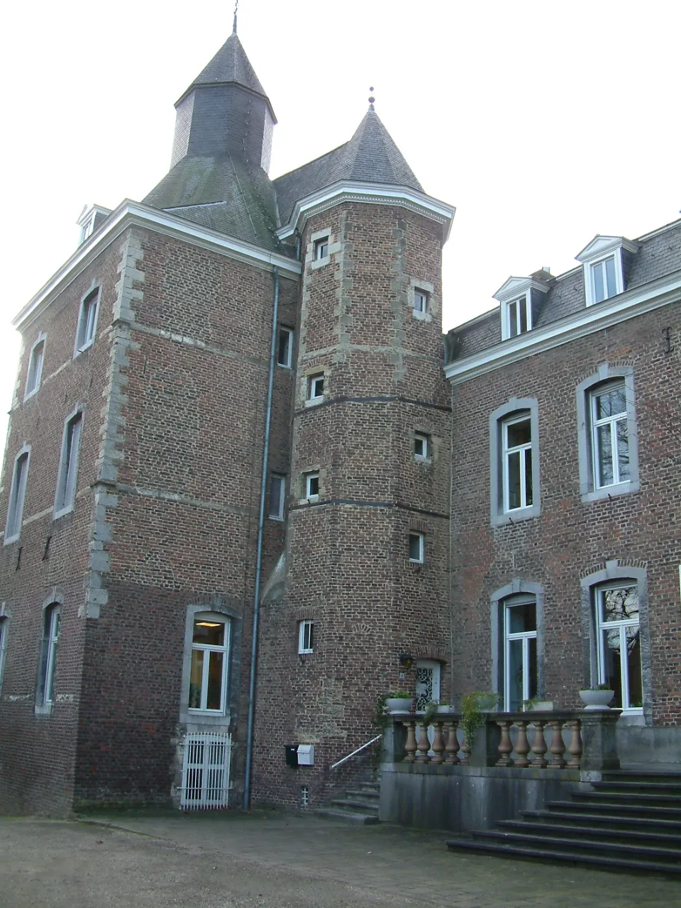 Kasteel Nijswiller Historic site, Gulpen-Wittem3.3 km NW
-
Sieben Quellen Natural site, Cologne District3.3 km E
-
Vetschauer Berg Mountain, Aachen3.6 km NE
-
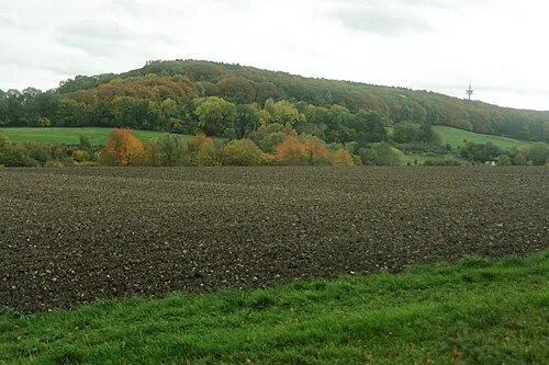 Friedrich Mountain, Aachen4.9 km SE
-
Schimperbos Natural site, Liège Province3.8 km S
Sources & licences
Data last updated: · 2 independent sources