Fluitberg
Located in Alphen-Chaam Municipality, North Brabant Coordinates: 51°29′05″ N 4°55′20″ E
- Elevation
- 28 m
- above sea level
- Local time
- UTC+01:00
- Europe/Amsterdam · UTC+01:00
About Fluitberg
Fluitberg is a mountain. Location: Alphen-Chaam Municipality, North Brabant. Elevation: 28 m.
In comparison
- No. 85 of 122 mountains in The Netherlands by elevation
- 9 sights and natural places within 10 km Zandberg, Houtberg
Nearest towns and villages
-
Alphen Village, Alphen-Chaam Municipality2.5 km E
-
Baarle-Nassau Town, Baarle-Nassau Municipality4.2 km S
-
Chaam Village, Alphen-Chaam Municipality4.9 km NW
-
Hoogbraak Village, Baarle-Nassau Municipality4.1 km S
-
Ulicoten Village, Baarle-Nassau Municipality5.4 km SW
-
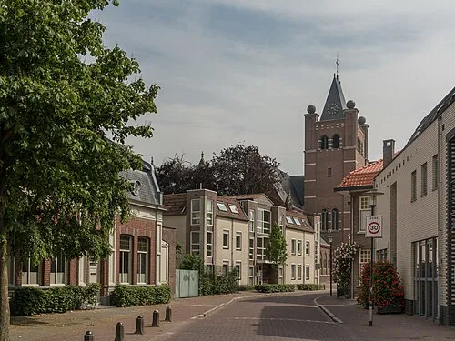 Gilze Town, Gilze en Rijen Municipality6.7 km N
Nearby attractions & nature
Everything nearby-
Zandberg Mountain, Alphen-Chaam Municipality0.9 km E
-
Houtberg Mountain, Gemeente Goirle5.7 km E
-
Witte Bergen Mountain, Baarle-Nassau Municipality7.6 km SW
-
Gouverneurs Bos Natural site, Antwerp Province9 km SW
-
Bossen Heide Natural site, Antwerp Province9.5 km S
-
Goorle Loop River, Antwerp Province7.4 km E
-
Wegmeerheide Natural site, Antwerp Province9.9 km S
-
Appelenberg Mountain, Gemeente Reusel-De Mierden14 km SE
Sources & licences
Data last updated: · 2 independent sources