Riethoven
Located in Bergeijk Municipality, North Brabant Coordinates: 51°21′15″ N 5°23′15″ E
- Population
- 2,515
- 2.5K
- Elevation
- 30 m
- above sea level
- Local time
- UTC+01:00
- Europe/Amsterdam · UTC+01:00
About Riethoven
Riethoven is a village. Location: Bergeijk Municipality, North Brabant. Population: 2,515. Elevation: 30 m.
Riethoven (Dutch pronunciation: [ˈritˌɦoːvə(n)]) is a village in the Dutch province of North Brabant. It is located in the municipality of Bergeijk, about 15 km (9.3 mi) southwest of Eindhoven. The adjacent township of Walik is in general considered to be a part of Riethoven. Riethoven was originally called Rijthoven, but with time it changed into Riethoven. In Dutch The name means: farms at the Rijt, the Rijt being a river near the municipality.
Read more on Wikipedia Text: Wikipedia contributors · CC BY-SA 4.0 · shortened
In comparison
- No. 2 of 6 places in Bergeijk Municipality by population
- Nearest larger town: Bergeijk, 4 km SW
- 3 sights and natural places within 10 km Klagloop, Warmbeek
Airports nearest to Riethoven
- Eindhoven Airport (EIN) Eindhoven 11 km
- Maastricht Aachen Airport (MST) Maastricht 56 km
- Weeze (Niederrhein) Airport (NRN) Weeze 59 km
Straight-line distance; airports with scheduled flights only. Source: OurAirports (public domain).
Nearby attractions & nature
Everything nearby-
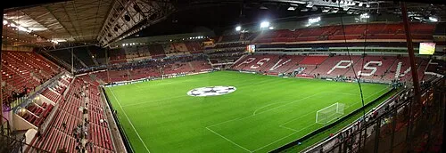 Philips Stadium Landmark, Eindhoven Municipality11 km NE
-
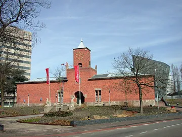 Van Abbe museum Museum, Eindhoven Municipality11 km NE
-
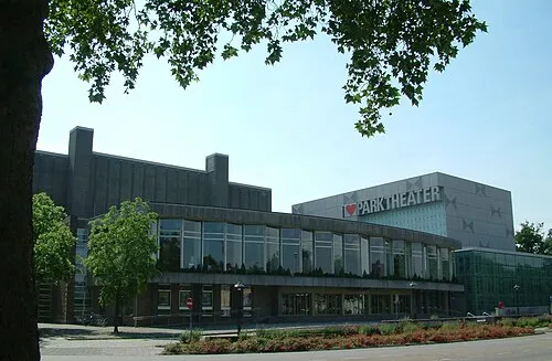 Parktheater Eindhoven Attraction, Eindhoven Municipality11 km NE
-
Eindhoven Concentration Camp Historic site, Eindhoven Municipality11 km NE
-
Klagloop River, Belgium8.3 km S
-
Sint Benedictusabdij De Achelse Kluis Attraction, Hamont-Achel9.3 km SE
Sources & licences
Data last updated: · 2 independent sources