Driehuizen
Located in Alkmaar Municipality, North Holland Coordinates: 52°34′42″ N 4°48′25″ E
- Population
- 225
- 225
- Elevation
- -1 m
- above sea level
- Local time
- UTC+01:00
- Europe/Amsterdam · UTC+01:00
About Driehuizen
Driehuizen is a village. Location: Alkmaar Municipality, North Holland. Population: 225. Elevation: -1 m.
Driehuizen is a village in the Dutch province of North Holland. It is a part of the municipality of Alkmaar, and lies about 8 km south of the city of Alkmaar. The name literally means Three houses, and was first mentioned in 1639. Driehuizen developed on the former island of Schermereiland. According to legend, there were three houses in 1603. After the Schermer was poldered in 1635, it received a road connection to Zuidschermer. Driehuizen was home to 156 people in 1840.
Read more on Wikipedia Text: Wikipedia contributors · CC BY-SA 4.0 · shortened
In comparison
- No. 13 of 17 places in Alkmaar Municipality by population
- Nearest larger town: Zuidschermer, 2 km W
- 2 sights and natural places within 10 km Stedelijk Museum Alkmaar, Ham Fort
Nearby attractions & nature
Everything nearby-
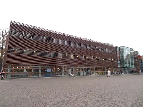 Stedelijk Museum Alkmaar Museum, Alkmaar Municipality7.5 km NW
-
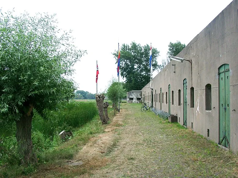 Ham Fort Historic site, Uitgeest Municipality9.8 km SW
-
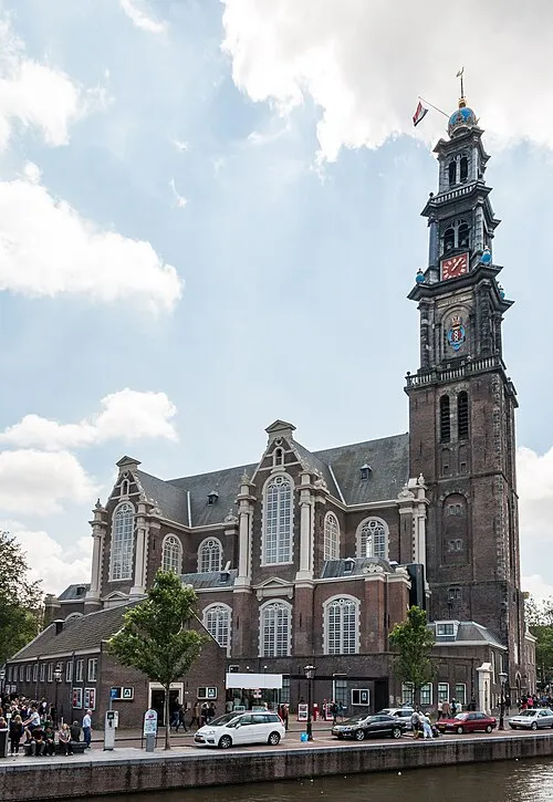 Westerkerk Attraction, Gemeente Amsterdam23 km S
-
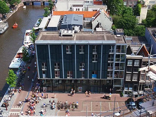 Anne Frank House Museum, Gemeente Amsterdam23 km S
-
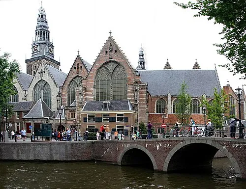 Oude Kerk Attraction, Gemeente Amsterdam24 km S
-
Zuiderkerk Attraction, Gemeente Amsterdam24 km S
Sources & licences
Data last updated: · 2 independent sources