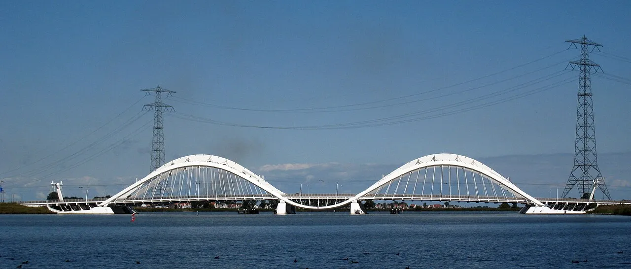
Enneüs Heerma Bridge
Located in North Holland, The Netherlands Coordinates: 52°21′55″ N 4°58′35″ E
- Local time
- UTC+01:00
- Europe/Amsterdam · UTC+01:00
- Elevation
- 1 m
- above sea level
About Enneüs Heerma Bridge
Enneüs Heerma Bridge is a landmark. Location: North Holland, The Netherlands.
The Enneüs Heerma Bridge (Dutch: Enneüs Heermabrug) is a bridge in Amsterdam, Netherlands located in the new neighbourhood of IJburg, built on seven artificial islands in the IJmeer. It connects the district of Zeeburgereiland, on the eastern edge of the city, with Steigereiland, to the south. The bridge is named after Enneüs Heerma, who served as Leader of the Christian Democratic Appeal, alderman in Amsterdam and State Secretary twice under Prime Minister Ruud Lubbers.
Read more on Wikipedia Text: Wikipedia contributors · CC BY-SA 4.0 · shortened
At a glance
- Opened
- 2001
- Architect
- Nicholas Grimshaw
- Length
- 0.2 km
Source: Wikidata
In comparison
- 49 sights and natural places within 10 km Schellingwouderbrug, Tropenmuseum
Nearby attractions & nature
Everything nearby-
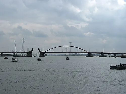 Schellingwouderbrug Landmark, North Holland1.6 km NW
-
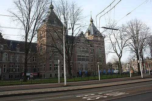 Tropenmuseum Museum, Gemeente Amsterdam3.7 km W
-
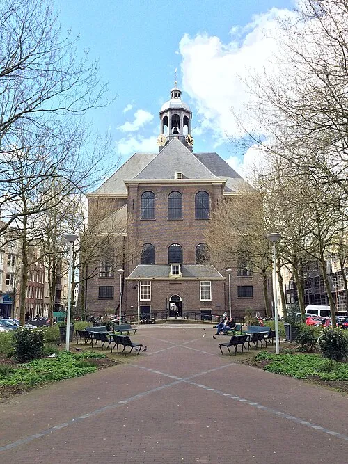 Oosterkerk Attraction, Gemeente Amsterdam3.9 km W
-
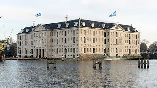 Nederlands Scheepvaartmuseum Museum, Gemeente Amsterdam4.2 km W
-
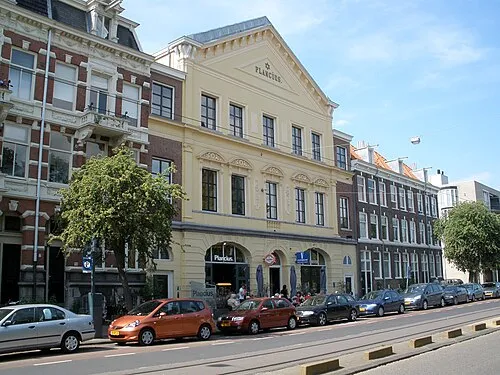 Dutch Resistance Museum Museum, Gemeente Amsterdam4.3 km W
-
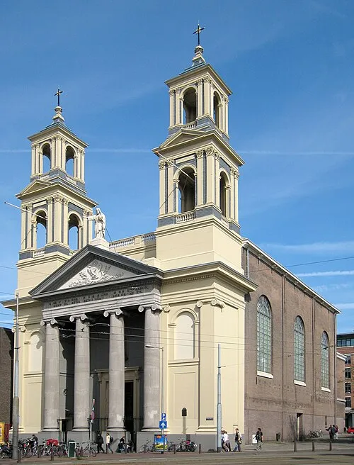 Mozes en Aäronkerk Attraction, Gemeente Amsterdam5 km W
-
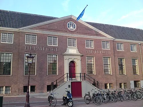 Hermitage Amsterdam Museum, Gemeente Amsterdam5 km W
-
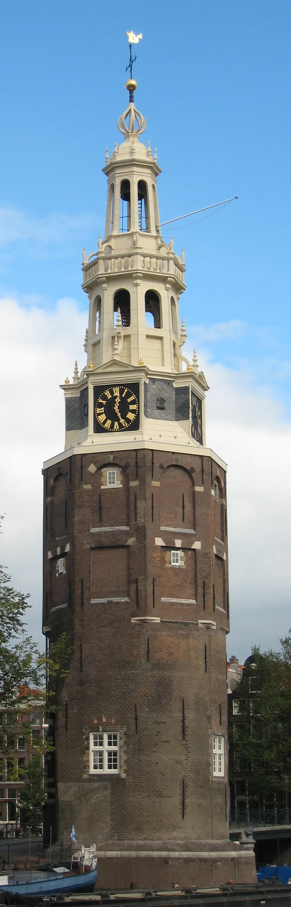 Montelbaanstoren Landmark, Gemeente Amsterdam4.9 km W
Nearest towns and villages
-
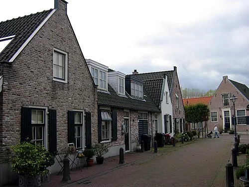 Diemen Town, Diemen Municipality3 km S
-
Amsterdam-Oost Neighbourhood, Oost3.3 km SW
-
Durgerdam Village, Gemeente Amsterdam1.6 km NE
-
Schellingwoude Village, Gemeente Amsterdam2.3 km N
More sights in North Holland
-
Zuiderkerk Attraction, Gemeente Amsterdam5.2 km W
-
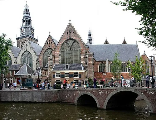 Oude Kerk Attraction, Gemeente Amsterdam5.4 km W
-
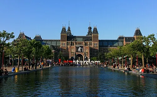 Rijksmuseum Amsterdam Museum, Gemeente Amsterdam6.2 km W
-
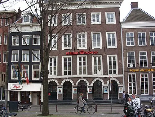 De Kleine Komedie Attraction, Gemeente Amsterdam5.5 km W
-
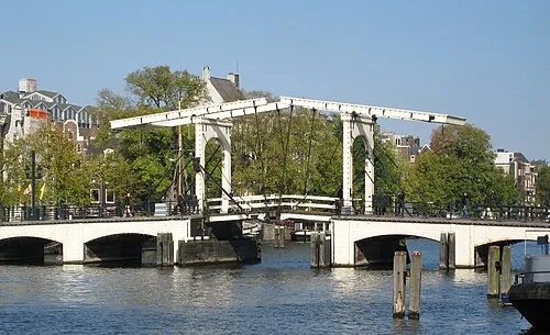 Magere Brug Landmark, Gemeente Amsterdam5 km W
-
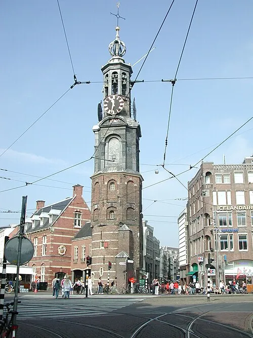 Munttoren Landmark, Gemeente Amsterdam5.7 km W
Sources & licences
Data last updated: · 2 independent sources