Hertme
Located in Borne Municipality, Overijssel Coordinates: 52°19′15″ N 6°45′35″ E
- Population
- 290
- 290
- Elevation
- 13 m
- above sea level
- Local time
- UTC+01:00
- Europe/Amsterdam · UTC+01:00
About Hertme
Hertme is a village. Location: Borne Municipality, Overijssel. Population: 290. Elevation: 13 m.
Hertme is a village in the Dutch province of Overijssel. It is a part of the municipality of Borne, and lies about 7 km north of Hengelo. Hertme has its own church and a restaurant called 'Hertme’s Ambacht.' The village also has a music club, a school named St. Aegidius School with roughly 80 pupils, and a hotel. The Open Air Theater, built in 1955 for the local passion plays, has been the site of an annual African Music Festival since 1990. The Afrikafestival Hertme Youtube channel had 468,000 subscribers in 2020.
Read more on Wikipedia Text: Wikipedia contributors · CC BY-SA 4.0 · shortened
In comparison
- No. 3 of 3 places in Borne Municipality by population
- Nearest larger town: Borne, 2 km S
Nearby attractions & nature
Everything nearby-
Kersberg Mountain, Gemeente Dinkelland13 km NE
-
Tutenberg Mountain, Tubbergen Municipality14 km NE
-
Braamberg Mountain, Tubbergen Municipality14 km NE
-
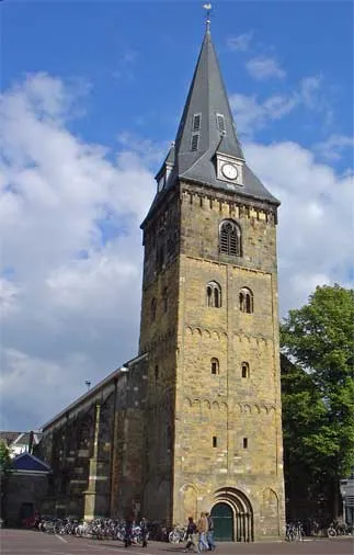 Grote Kerk Attraction, Enschede Municipality15 km SE
-
Paasberg Mountain, Losser Municipality15 km E
-
Galgenberg Mountain, Lower Saxony16 km NE
Sources & licences
Data last updated: · 2 independent sources