Den Hulst
Located in Dalfsen Municipality, Overijssel Coordinates: 52°35′33″ N 6°17′15″ E
- Elevation
- 3 m
- above sea level
- Local time
- UTC+01:00
- Europe/Amsterdam · UTC+01:00
About Den Hulst
Den Hulst is a village. Location: Dalfsen Municipality, Overijssel. Elevation: 3 m.
Den Hulst, can be spelled at times as De Hulst and traditionally pronounced as Nulst locally is a historical Dutch hamlet which was incorporated into the village and municipality of Nieuwleusen (today in the municipality of Dalfsen). The northern part of Nieuwleusen is known as Den Hulst to this day.
Read more on Wikipedia Text: Wikipedia contributors · CC BY-SA 4.0 · shortened
In comparison
Airports nearest to Den Hulst
- Groningen Airport Eelde (GRQ) Groningen 62 km
- Münster Osnabrück Airport (FMO) Greven 108 km
- Amsterdam Airport Schiphol (AMS) Amsterdam 108 km
Straight-line distance; airports with scheduled flights only. Source: OurAirports (public domain).
Nearby attractions & nature
Everything nearby-
Agnietenberg Mountain, Gemeente Zwolle12 km SW
-
Besthmenerberg Mountain, Ommen Municipality15 km SE
-
Trijsberg Mountain, Gemeente Hattem22 km SW
-
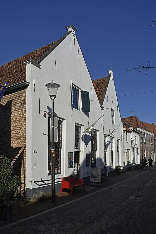 Voerman Museum Hattem Museum, Gemeente Hattem20 km SW
-
Hunnenkloosterberg Mountain, Gemeente De Wolden17 km N
-
Polberg Mountain, Heerde Municipality24 km SW
Sources & licences
Data last updated: · 2 independent sources