Grafhorst
Located in Gemeente Kampen, Overijssel Coordinates: 52°34′57″ N 5°56′00″ E
- Population
- 1,015
- 1K
- Elevation
- -1 m
- above sea level
- Local time
- UTC+01:00
- Europe/Amsterdam · UTC+01:00
About Grafhorst
Grafhorst is a village. Location: Gemeente Kampen, Overijssel. Population: 1,015. Elevation: -1 m.
Grafhorst is a small city about 3 km north of Kampen, in the Dutch province of Overijssel. It received city rights in 1333 from Jan van Diest, the Prince-Bishop of Utrecht. It was first mentioned in 1277 as Grafhorst, and means "burial height". Even though it was given city rights, it was never fortified and remained small. In 1775 and 1825, it was flooded. The economy used to be based in fishing with some agriculture culture. In 1849, it was home to 411 people.
Read more on Wikipedia Text: Wikipedia contributors · CC BY-SA 4.0 · shortened
In comparison
- No. 6 of 9 places in Gemeente Kampen by population
- Nearest larger town: IJsselmuiden, 2 km S
Nearby attractions & nature
Everything nearby-
Agnietenberg Mountain, Gemeente Zwolle14 km E
-
Trijsberg Mountain, Gemeente Hattem15 km SE
-
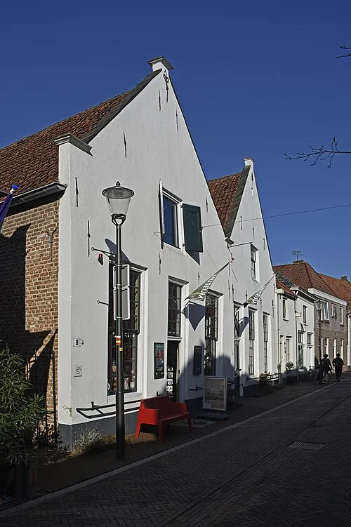 Voerman Museum Hattem Museum, Gemeente Hattem15 km SE
-
Waterplasberg Mountain, Gemeente Oldebroek16 km S
-
Polberg Mountain, Heerde Municipality19 km SE
-
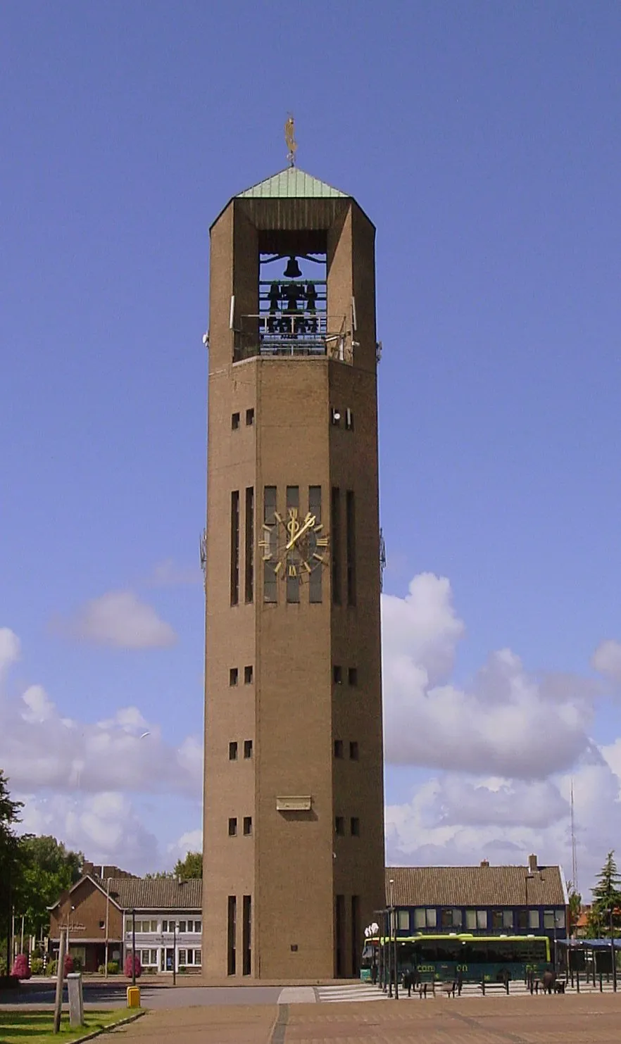 Poldertoren Landmark, Noordoostpolder Municipality19 km NW
Sources & licences
Data last updated: · 2 independent sources