Kampen
Located in Gemeente Kampen, Overijssel Coordinates: 52°33′18″ N 5°54′40″ E
- Population
- 48,980
- 49K
- Elevation
- 2 m
- above sea level
- Local time
- UTC+01:00
- Europe/Amsterdam · UTC+01:00
About Kampen
Kampen is a town. Location: Gemeente Kampen, Overijssel. Population: 48,980. Elevation: 2 m.
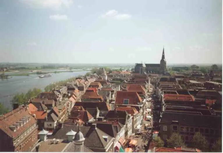
Kampen (Dutch pronunciation: [ˈkɑmpə(n)] ) is a city and municipality in the province of Overijssel, Netherlands. A member of the former Hanseatic League, it is located at the lower reaches of the river IJssel. The municipality of Kampen had a population of 54,474 in 2021 and covers an area of 161.79 square kilometres (62.47 square miles). Kampen is located in the North West of Overijssel and is the largest city in this region. The city of Kampen itself has around 37,000 inhabitants.
Read more on Wikipedia Text: Wikipedia contributors · CC BY-SA 4.0 · shortened
At a glance
- Area
- 162 km²
Source: Wikidata
In comparison
- Most populous of 9 places in Gemeente Kampen
- Nearest larger town: Zwolle, 13 km E
Nearby attractions & nature
Everything nearby-
Trijsberg Mountain, Gemeente Hattem14 km SE
-
Waterplasberg Mountain, Gemeente Oldebroek14 km SE
-
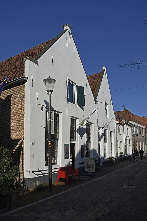 Voerman Museum Hattem Museum, Gemeente Hattem14 km SE
-
Agnietenberg Mountain, Gemeente Zwolle15 km E
-
Polberg Mountain, Heerde Municipality18 km SE
-
Ossenberg Mountain, Heerde Municipality18 km S
-
Tonnenberg Mountain, Heerde Municipality18 km SE
-
Putjensberg Mountain, Heerde Municipality18 km S
Sources & licences
Data last updated: · 2 independent sources