Olst
Located in Gemeente Olst-Wijhe, Overijssel Coordinates: 52°20′15″ N 6°06′35″ E
- Population
- 4,780
- 4.8K
- Elevation
- 7 m
- above sea level
- Local time
- UTC+01:00
- Europe/Amsterdam · UTC+01:00
About Olst
Olst is a village. Location: Gemeente Olst-Wijhe, Overijssel. Population: 4,780. Elevation: 7 m.
Olst is a town in the Dutch province of Overijssel, about 8 km (5 mi) north of Deventer. It is located in the municipality of Olst-Wijhe.
Read more on Wikipedia Text: Wikipedia contributors · CC BY-SA 4.0 · shortened
In comparison
- No. 2 of 9 places in Gemeente Olst-Wijhe by population
- Nearest larger town: Wijhe, 6 km N
Airports nearest to Olst
- Weeze (Niederrhein) Airport (NRN) Weeze 82 km
- Amsterdam Airport Schiphol (AMS) Amsterdam 92 km
- Groningen Airport Eelde (GRQ) Groningen 93 km
Straight-line distance; airports with scheduled flights only. Source: OurAirports (public domain).
Nearby attractions & nature
Everything nearby-
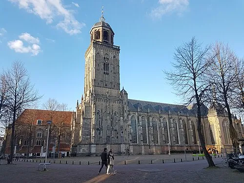 Lebuïnuskerk Attraction, Deventer Municipality10 km S
-
Tonnenberg Mountain, Heerde Municipality9.8 km NW
-
Ossenberg Mountain, Heerde Municipality10 km NW
-
Putjensberg Mountain, Heerde Municipality10 km NW
-
Polberg Mountain, Heerde Municipality10 km N
-
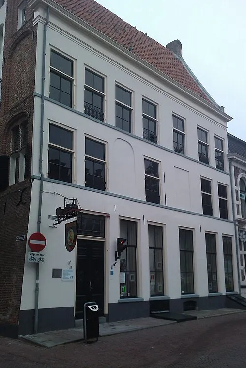 Speelgoedmuseum Deventer Museum, Deventer Municipality10 km S
Sources & licences
Data last updated: · 2 independent sources