Vroomshoop
Located in Gemeente Twenterand, Overijssel Coordinates: 52°27′39″ N 6°33′55″ E
- Population
- 8,480
- 8.5K
- Elevation
- 10 m
- above sea level
- Local time
- UTC+01:00
- Europe/Amsterdam · UTC+01:00
About Vroomshoop
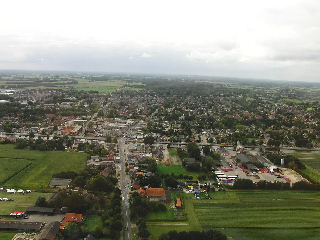
Vroomshoop is a town. Location: Gemeente Twenterand, Overijssel. Population: 8,480. Elevation: 10 m.
Vroomshoop is a town located at the center of the municipality Twenterand in the Dutch province of Overijssel and was founded around 1859. The earliest inhabitants lived from the peat that was found in the nearby area. Farmers from the Groningen area played an important role by excavating peat and turning it into farmland here. They settled mainly on the Tonnendijk Road. The Groninger-farms are still on the Tonnendijk.
Read more on Wikipedia Text: Wikipedia contributors · CC BY-SA 4.0 · shortened
In comparison
- No. 2 of 8 places in Gemeente Twenterand by population
- Nearest larger town: Vriezenveen, 7 km SE
Nearby attractions & nature
Everything nearby-
Besthmenerberg Mountain, Ommen Municipality9.7 km NW
-
Fürstenbelt Mountain, Itterbeck12 km E
-
Kniepenberg Mountain, Wielen14 km NE
-
Grote Koningsbelt Mountain, Hellendoorn Municipality17 km SW
-
Tutenberg Mountain, Tubbergen Municipality19 km E
-
Braamberg Mountain, Tubbergen Municipality19 km E
-
Kersberg Mountain, Gemeente Dinkelland22 km E
-
Luttenberg Mountain, Raalte Municipality15 km SW
Sources & licences
Data last updated: · 2 independent sources