Enter
Located in Gemeente Wierden, Overijssel Coordinates: 52°17′39″ N 6°34′40″ E
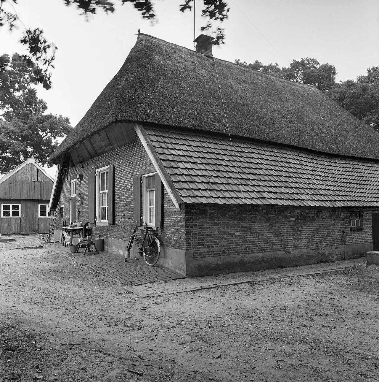
- Population
- 7,545
- 7.5K
- Elevation
- 12 m
- above sea level
- Local time
- UTC+01:00
- Europe/Amsterdam · UTC+01:00
About Enter
Enter is a town. Location: Gemeente Wierden, Overijssel. Population: 7,545. Elevation: 12 m.
Enter (Low German: Eanter) is a village in the eastern Netherlands. Enter is located in the municipality of Wierden, Overijssel, between Almelo, Goor, Bornerbroek and Rijssen. In 2021, it was home to 5,515 inhabitants.
Read more on Wikipedia Text: Wikipedia contributors · CC BY-SA 4.0 · shortened
In comparison
- No. 2 of 3 places in Gemeente Wierden by population
- Nearest larger town: Rijssen, 4 km W
Nearby attractions & nature
Everything nearby-
Apenberg Mountain, Gemeente Hof van Twente4.7 km SW
-
Zuurberg Mountain, Gemeente Rijssen-Holten10 km W
-
Lokerenk Mountain, Gemeente Rijssen-Holten10 km W
-
Grote Koningsbelt Mountain, Hellendoorn Municipality12 km NW
-
Tutenberg Mountain, Tubbergen Municipality24 km NE
-
Braamberg Mountain, Tubbergen Municipality24 km NE
-
Kersberg Mountain, Gemeente Dinkelland25 km NE
-
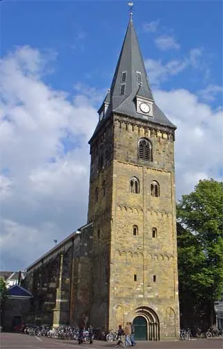 Grote Kerk Attraction, Enschede Municipality23 km E
Sources & licences
Data last updated: · 2 independent sources