Raalte Municipality
Located in Overijssel, The Netherlands Coordinates: 52°24′11″ N 6°17′16″ E
- Population
- 37,911
- 37.9K
- Elevation
- 4 m
- above sea level
- Local time
- UTC+01:00
- Europe/Amsterdam · UTC+01:00
- Places inside
- 8
- listed under Raalte Municipality
About Raalte Municipality
Raalte Municipality is a district. Location: Overijssel, The Netherlands. Population: 37,911.
In comparison
- Listed here: Village: 5, Town: 2, Mountain: 1
Places in Raalte Municipality
8 places-
Raalte Town20K
-
Heino Town6.5K
-
Laag Zuthem Village281
-
Lierderholthuis Village176
-
Heeten Village
-
Luttenberg Mountain
-
Mariënheem Village
-
Schoonheten Village
Nearby attractions & nature
Everything nearby-
Grote Koningsbelt Mountain, Hellendoorn Municipality12 km SE
-
Polberg Mountain, Heerde Municipality16 km W
-
Tonnenberg Mountain, Heerde Municipality17 km W
-
Trijsberg Mountain, Gemeente Hattem18 km W
-
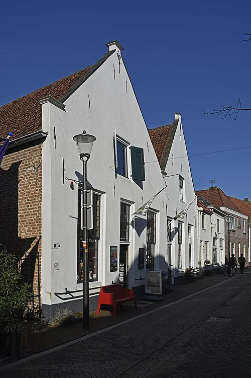 Voerman Museum Hattem Museum, Gemeente Hattem17 km NW
-
Lokerenk Mountain, Gemeente Rijssen-Holten17 km SE
Sources & licences
Data last updated: