Loenersloot
Located in Stichtse Vecht, Utrecht Coordinates: 52°13′45″ N 5°00′05″ E
- Population
- 700
- 700
- Elevation
- 1 m
- above sea level
- Local time
- UTC+01:00
- Europe/Amsterdam · UTC+01:00
About Loenersloot
Loenersloot is a village. Location: Stichtse Vecht, Utrecht. Population: 700. Elevation: 1 m.
Loenersloot is a village in the Dutch province of Utrecht. It was a part of the former municipality of Loenen. Since 2011 it has made part of the new formed municipality of Stichtse Vecht. It lies about 12 km west of Hilversum. It is located on the Angstel River. Loenersloot used to be a separate municipality. In 1964, it merged with the neighbouring municipality of Loenen. Castle Loenersloot is located in the village.
Read more on Wikipedia Text: Wikipedia contributors · CC BY-SA 4.0 · shortened
In comparison
- No. 11 of 22 places in Stichtse Vecht by population
- Nearest larger town: Baambrugge, 2 km NW
- 2 sights and natural places within 10 km Nieuwersluis Fort, Weesperbrug
Nearby attractions & nature
Everything nearby-
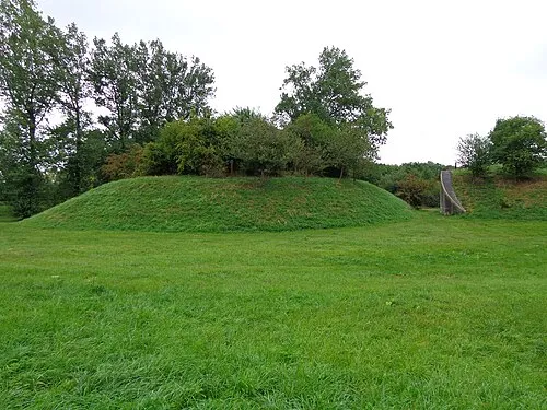 Nieuwersluis Fort Historic site, Stichtse Vecht3.6 km S
-
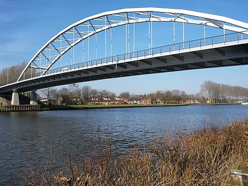 Weesperbrug Landmark, Gemeente De Ronde Venen8.3 km N
-
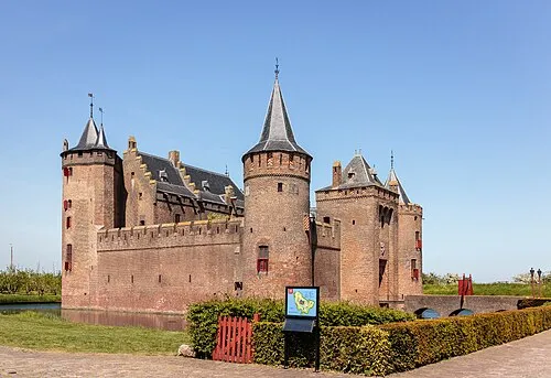 Muiderslot Historic site, Gooise Meren13 km N
-
Olympic Stadium Landmark, Gemeente Amsterdam16 km NW
-
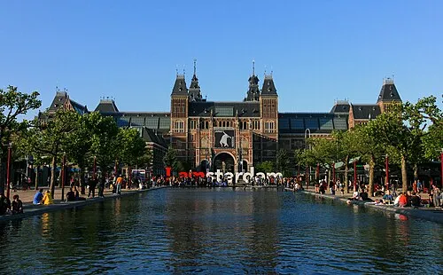 Rijksmuseum Amsterdam Museum, Gemeente Amsterdam17 km NW
-
 Van Gogh Museum Museum, Gemeente Amsterdam17 km NW
Sources & licences
Data last updated: · 2 independent sources