Vreeland
Located in Stichtse Vecht, Utrecht Coordinates: 52°13′48″ N 5°01′55″ E
- Population
- 35
- 35
- Elevation
- 0 m
- above sea level
- Local time
- UTC+01:00
- Europe/Amsterdam · UTC+01:00
About Vreeland
Vreeland is a village. Location: Stichtse Vecht, Utrecht. Population: 35. Elevation: 0 m.
Vreeland (Dutch pronunciation: [ˈvreːlɑnt]) is a village in the Dutch province of Utrecht. It was a part of the former municipality of Loenen. Since 2011 it has been part of the new formed municipality of Stichtse Vecht. It is located on the river Vecht, about 2 km north of Loenen aan de Vecht. It received city rights in 1265. In 2015, the village celebrates the 750th year of its foundation. Vreeland is on the provincial road Vinkeveen-Hilversum (N201). Until 1964, Vreeland was a separate municipality.
Read more on Wikipedia Text: Wikipedia contributors · CC BY-SA 4.0 · shortened
In comparison
- No. 22 of 22 places in Stichtse Vecht by population
- Nearest larger town: Oudover, 2 km S
- 3 sights and natural places within 10 km Nieuwersluis Fort, Weesperbrug
Nearby attractions & nature
Everything nearby-
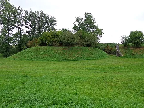 Nieuwersluis Fort Historic site, Stichtse Vecht4.2 km SW
-
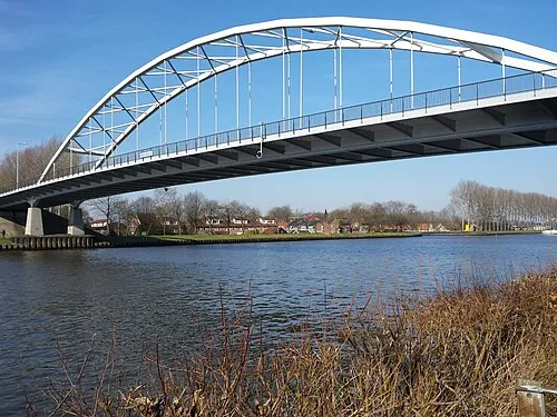 Weesperbrug Landmark, Gemeente De Ronde Venen8.1 km N
-
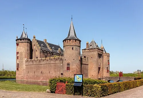 Muiderslot Historic site, Gooise Meren12 km N
-
Hoorneboeg Mountain, Hilversum Municipality9.6 km E
-
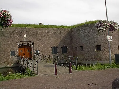 Mouse Fort Historic site, Gooise Meren11 km N
-
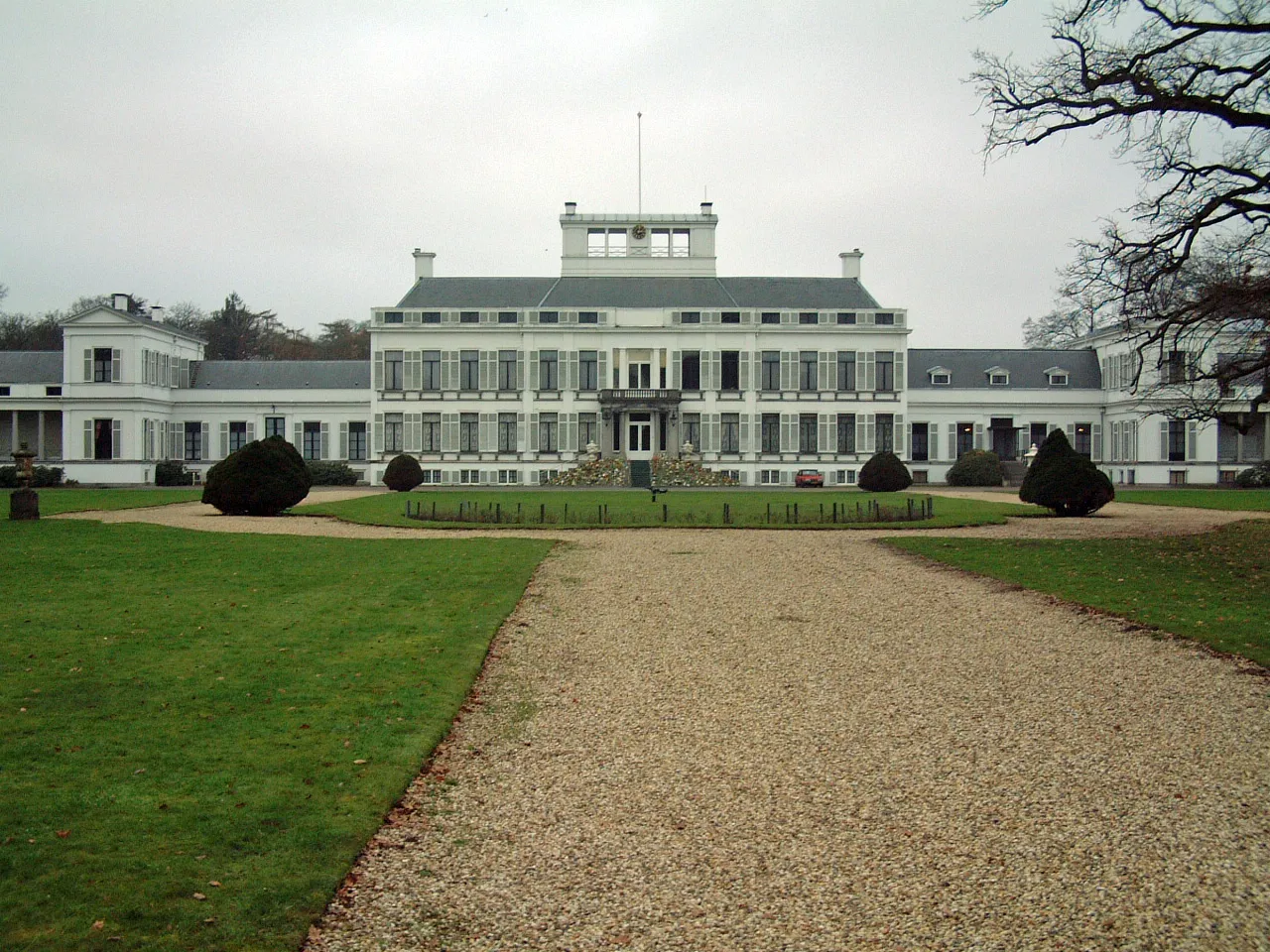 Soestdijk Palace Historic site, Baarn Municipality17 km E
Sources & licences
Data last updated: · 2 independent sources