Lewedorp
Located in Borsele Municipality, Zeeland Coordinates: 51°29′45″ N 3°44′55″ E
- Elevation
- 2 m
- above sea level
- Local time
- UTC+01:00
- Europe/Amsterdam · UTC+01:00
About Lewedorp
Lewedorp is a village. Location: Borsele Municipality, Zeeland. Elevation: 2 m.
Lewedorp is a village in the Dutch province of Zeeland. It is a part of the municipality of Borsele, and lies about 9 km east of Middelburg. The village was first mentioned in 1913 as Noordkraaijert. It was renamed on 13 August 1929 and refers to Unico Evert Lewe van Neijenstein, the mayor of 's-Heer Arendskerke between 1892 until 1933. The village used to be located near the ferry to Zuid-Beveland and Walcheren which operated from 1755 until 1872.
Read more on Wikipedia Text: Wikipedia contributors · CC BY-SA 4.0 · shortened
In comparison
- Nearest larger town: Oranjeplaat, 3 km NW
- 4 sights and natural places within 10 km Zandkreekplaat, Aardbeieneiland
Airports nearest to Lewedorp
- Antwerp International Airport (Deurne) (ANR) Antwerp 60 km
- Ostend-Bruges International Airport (OST) Oostende 69 km
- Rotterdam The Hague Airport (RTM) Rotterdam 70 km
Straight-line distance; airports with scheduled flights only. Source: OurAirports (public domain).
Nearby attractions & nature
Everything nearby-
Zandkreekplaat Island, Gemeente Goes4.6 km N
-
Soelekerkplaat Mountain, Veere Municipality6 km NW
-
Aardbeieneiland Island, Gemeente Middelburg5.4 km NW
-
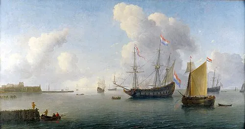 Fort Rammekens Historic site, Gemeente Vlissingen8.2 km SW
-
Ellewoutsdijk Fort Historic site, Borsele Municipality13 km S
-
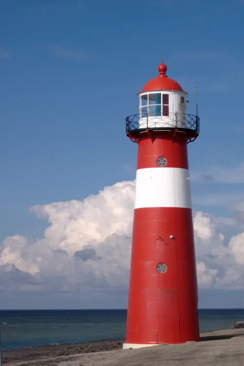 Noorderhoofd Landmark, Veere Municipality22 km W
Sources & licences
Data last updated: · 2 independent sources