Flushing
Located in Gemeente Vlissingen, Zeeland Coordinates: 51°26′33″ N 3°34′25″ E
- Population
- 45,273
- 45.3K
- Elevation
- 5 m
- above sea level
- Local time
- UTC+01:00
- Europe/Amsterdam · UTC+01:00
About Flushing
Flushing is a town. Location: Gemeente Vlissingen, Zeeland. Population: 45,273. Elevation: 5 m.
At a glance
- Built
- 1247
- Area
- 287 km²
Source: Wikidata
In comparison
- Most populous of 6 places in Gemeente Vlissingen
- Nearest larger town: Middelburg, 7 km NE
Nearby attractions & nature
Everything nearby-
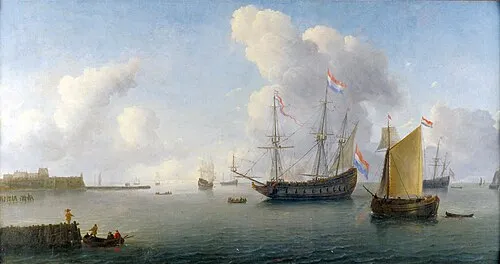 Fort Rammekens Historic site, Gemeente Vlissingen5.7 km E
-
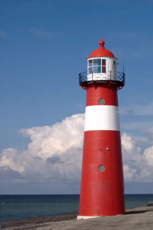 Noorderhoofd Landmark, Veere Municipality14 km NW
-
Soelekerkplaat Mountain, Veere Municipality14 km NE
-
Aardbeieneiland Island, Gemeente Middelburg13 km NE
-
Zandkreekplaat Island, Gemeente Goes15 km NE
-
Ellewoutsdijk Fort Historic site, Borsele Municipality18 km E
-
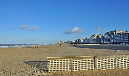 Albertstrand Beach, Knokke-Heist23 km SW
-
Aloha Beach Beach, Veere Municipality17 km N
Sources & licences
Data last updated: · 2 independent sources