Schore
Located in Kapelle Municipality, Zeeland Coordinates: 51°27′45″ N 4°00′00″ E
- Population
- 440
- 440
- Elevation
- 1 m
- above sea level
- Local time
- UTC+01:00
- Europe/Amsterdam · UTC+01:00
About Schore
Schore is a village. Location: Kapelle Municipality, Zeeland. Population: 440. Elevation: 1 m.
Schore is a village in the Dutch province of Zeeland. It is located in the municipality of Kapelle, about 8 km southwest of Goes. The village was first mentioned in 1253 as Dodinus de Scoren, and means "land on water". Schore is a circular church village. Schore was founded after 1150 when a dike was built around Zuid-Beveland. The village was flooded and destroyed in 1248. It was later rebuilt as a small agricultural community. Schore was home to 261 people in 1840.
Read more on Wikipedia Text: Wikipedia contributors · CC BY-SA 4.0 · shortened
In comparison
- No. 3 of 3 places in Kapelle Municipality by population
- Nearest larger town: Kapelle, 4 km NW
Nearby attractions & nature
Everything nearby-
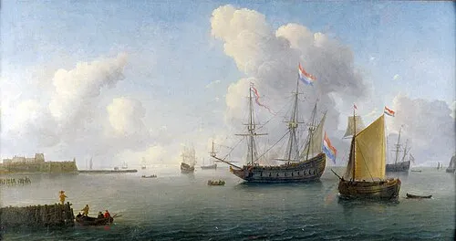 Fort Rammekens Historic site, Gemeente Vlissingen24 km W
-
Soelekerkplaat Mountain, Veere Municipality23 km W
-
Ellewoutsdijk Fort Historic site, Borsele Municipality16 km SW
-
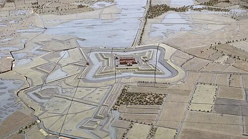 Fort de Roovere Historic site, Bergen op Zoom Municipality22 km E
-
Aardbeieneiland Island, Gemeente Middelburg23 km W
-
Zandkreekplaat Island, Gemeente Goes21 km NW
Sources & licences
Data last updated: · 2 independent sources