Amasya Province
Local name: Amasya ili
Located in Turkey Coordinates: 40°43′34″ N 35°53′12″ E
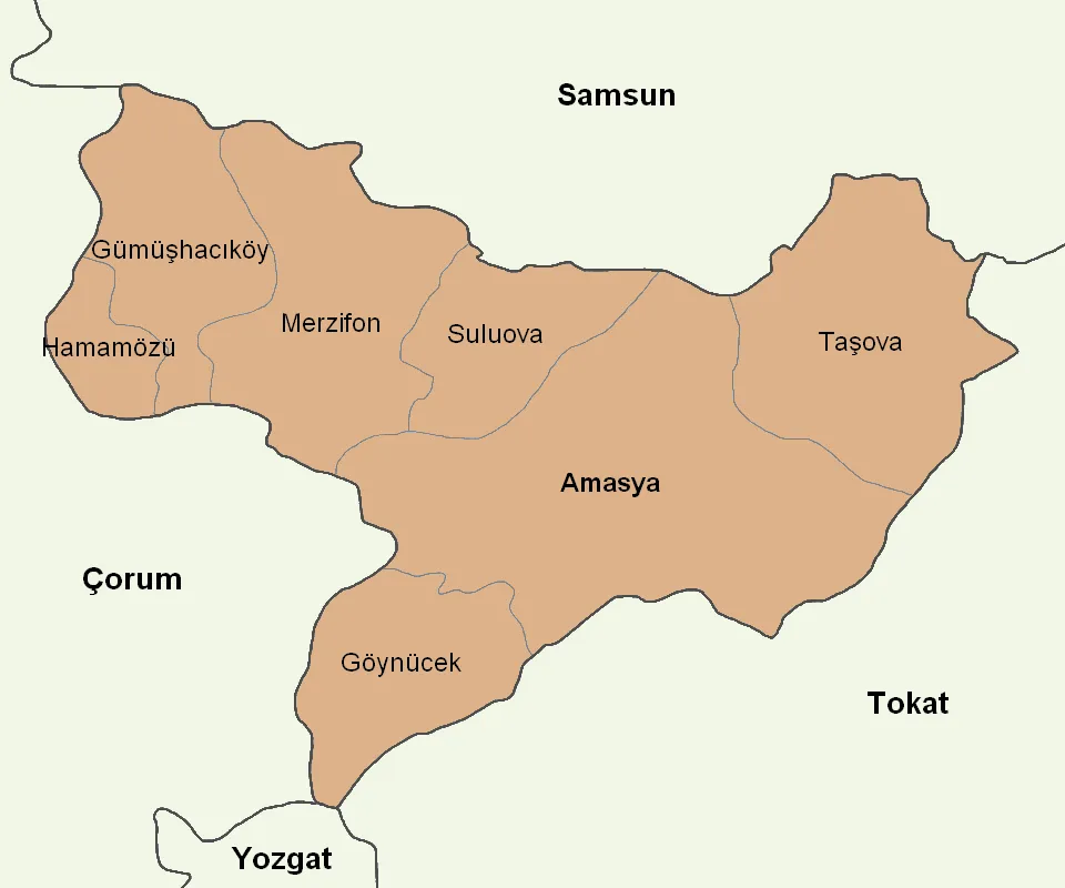
- Population
- 338,267
- 338.3K
- Elevation
- 1,193 m
- above sea level
- Local time
- UTC+03:00
- Europe/Istanbul · UTC+03:00
- Places inside
- 72
- listed under Amasya Province
About Amasya Province
Amasya Province is a region. Location: Turkey. Population: 338,267.
Amasya Province (Turkish: Amasya ili) is a province of Turkey, situated on the Yeşil River in the Black Sea Region to the north of the country. Its area is 5,628 km2, and its population is 338,267 (2022). The provincial capital is Amasya, the antique Amaseia mentioned in documents from the era of Alexander the Great and the birthplace of the geographer and historian Strabo. In Ottoman times Amasya was well known for its madrassas, especially as a centre for the Khalwati Sufi order.
Read more on Wikipedia Text: Wikipedia contributors · CC BY-SA 4.0 · shortened
At a glance
- Area
- 5,520 km²
Source: Wikidata
In comparison
- 4 sights and natural places within 10 km Akpelit Tepesi, Kocacık Tepesi
- Listed here: River: 22, Municipality: 16, Village: 14, District: 7
Places in Amasya Province
72 places-
Amasya District134.4K
-
Merzifon İlçesi District70.3K
-
Suluova İlçesi District46.5K
-
Taşova İlçesi District31.6K
-
Gümüşhacıköy İlçesi District23.5K
-
Göynücek İlçesi District11.4K
-
Hamamözü İlçesi District4.3K
-
Sarıkız Village248
-
Yeşildere Village68
-
Eliktekke Village49
-
Ahacı Deresi River
-
Akdağ Bucağı Municipality
-
Alişar Village
-
Alıcık Bucağı Municipality
-
Aytepe Mountain
-
Balabarı Deresi River
-
Baraklı Deresi River
-
Beyalan Village
-
Büyük Çay River
-
Çağşak Tepesi Mountain
-
Çatoğlu Village
-
Çay Deresi River
-
Çeltek Village
-
Çitli Gölü Lake
-
Değirmen Deresi River
-
Değirmenözü Deresi River
-
Deli Çay River
-
Deliçay Deresi River
-
Derinöz Deresi River
-
Destek Boğazı Natural site
-
Destek Bucağı Municipality
-
Doğantepe Bucağı Municipality
-
Dövenci River
-
Elgazi Deresi River
-
Elmalı Tepe Mountain
-
Esençay Bucağı Municipality
-
Eskiköy Çeşmesi Natural site
-
Eskiköy Deresi River
-
Ezinepazarı Bucağı Municipality
-
Ezinepazarözü River
-
Gediksaray Bucağı Municipality
-
Geldingenhamamı Natural site
-
Gök Deresi River
-
Göynücek Bucağı Municipality
-
Gümüş Bucağı Municipality
-
Gümüşhacıköy Bucağı Municipality
-
Gümüşsuyu Çayı River
-
Hatun Pınar Natural site
-
Havalan Çayı River
-
İbişin Pınarı Natural site
-
Karadağ Mountain
-
Kara Dere River
-
Karamuk Village
-
Kemaliye Village
-
Koca Pınar Natural site
-
Koltuğu Village
-
Köseler Deresi River
-
Kozalan Village
-
Merzifon Bucağı Municipality
-
Paşapınar Village
Largest cities and towns
Nature and heritage in Amasya Province
-
Hüyük Tepesi Mountain, Göynücek İlçesi
-
Kuşpınar Tepesi Mountain, Amasya
-
Güvendik Dağı Mountain, Taşova İlçesi
-
Gölçalı Tepesi Mountain, Amasya
-
Çal Tepesi Mountain, Taşova İlçesi
-
Çakır Dağı Mountain, Amasya
Other regions in Turkey
-
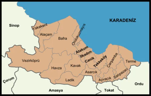 Samsun Province Region, Turkey69 km NE
-
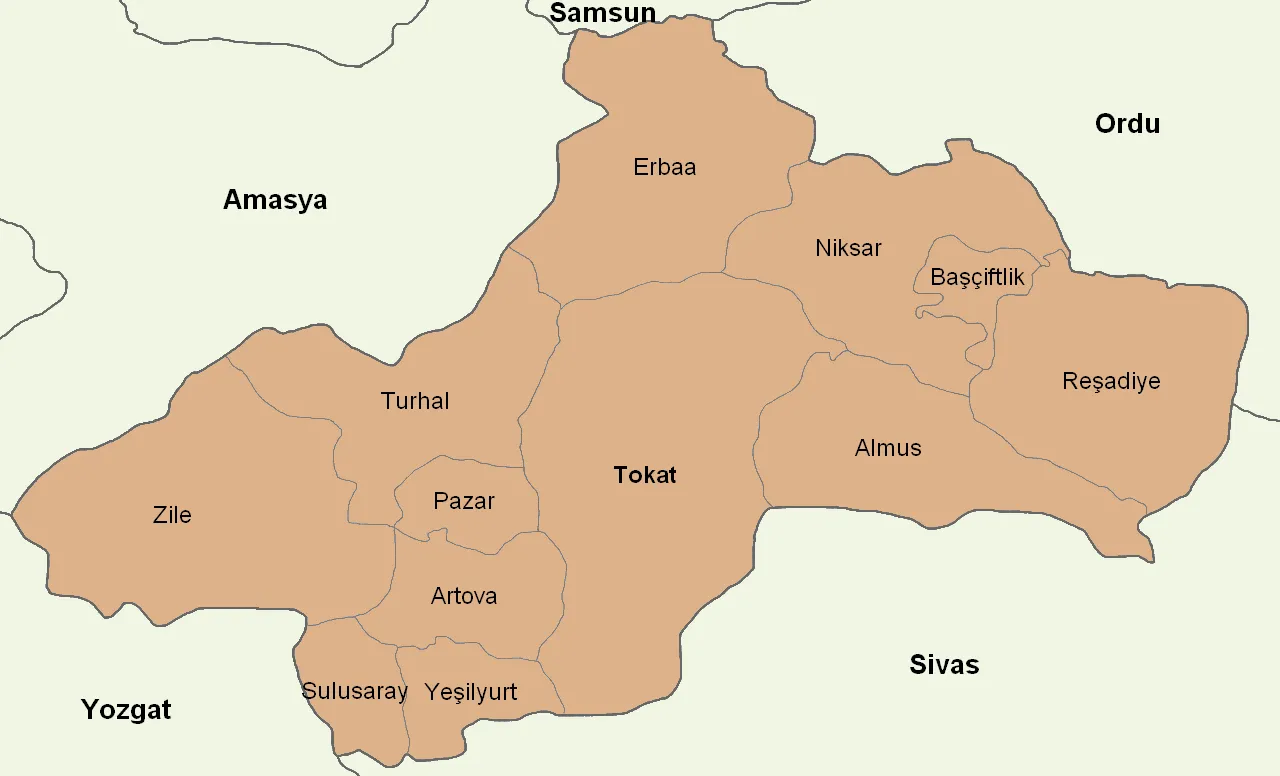 Tokat Province Region, Turkey68 km SE
-
Ladik İlçesi District, Samsun Province22 km N
-
Havza İlçesi District, Samsun Province34 km NW
-
Turhal İlçesi District, Tokat Province40 km SE
-
Kavak İlçesi District, Samsun Province42 km N
Sources & licences
Data last updated: · 2 independent sources