Kızılay
Located in Çankaya, Ankara Province Coordinates: 39°55′17″ N 32°51′02″ E
- Population
- 1,311
- 1.3K
- Elevation
- 878 m
- above sea level
- Local time
- UTC+03:00
- Europe/Istanbul · UTC+03:00
About Kızılay
Kızılay is a neighbourhood. Location: Çankaya, Ankara Province. Population: 1,311.
Kızılay is the city center of Ankara Province in the municipality and district of Çankaya, Turkey. Its population is 1,311 (2022). It is named after the Kızılay Derneği (Turkish Red Crescent) whose former headquarters was located at the Kızılay Square. Güvenpark in Kızılay is the center park and a common meeting location which occasionally serves the population as a recreational area. Ankara Metro, Ankaray and the bus stops nearby, provide easy access to other parts of the city.
Read more on Wikipedia Text: Wikipedia contributors · CC BY-SA 4.0 · shortened
In comparison
- No. 11 of 14 places in Çankaya by population
- Nearest larger town: Ankara, 0 km SE
- 81 sights and natural places within 10 km Güven Parkı, Zafer Anıtı
Nearby attractions & nature
Everything nearby-
Güven Parkı Natural site, Çankaya0.3 km SE
-
Zafer Anıtı Landmark, Çankaya0.5 km NE
-
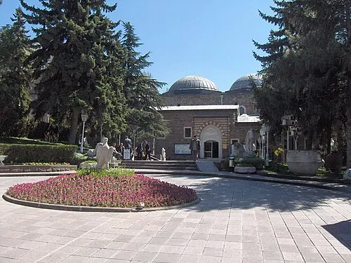 Museum of Anatolian Civilizations Museum, Altındağ2.1 km NE
-
Kocatepe Camii Attraction, Çankaya1 km SE
-
Kurtuluş Parkı Natural site, Çankaya1.3 km NE
-
Anıtpark Natural site, Çankaya1.4 km W
Sources & licences
Data last updated: · 2 independent sources