Kalecik
Located in Kalecik District, Ankara Province Coordinates: 40°05′50″ N 33°24′30″ E
- Population
- 12,932
- 12.9K
- Elevation
- 741 m
- above sea level
- Local time
- UTC+03:00
- Europe/Istanbul · UTC+03:00
About Kalecik
Kalecik is a city. Location: Kalecik District, Ankara Province. Population: 12,932. Elevation: 741 m.
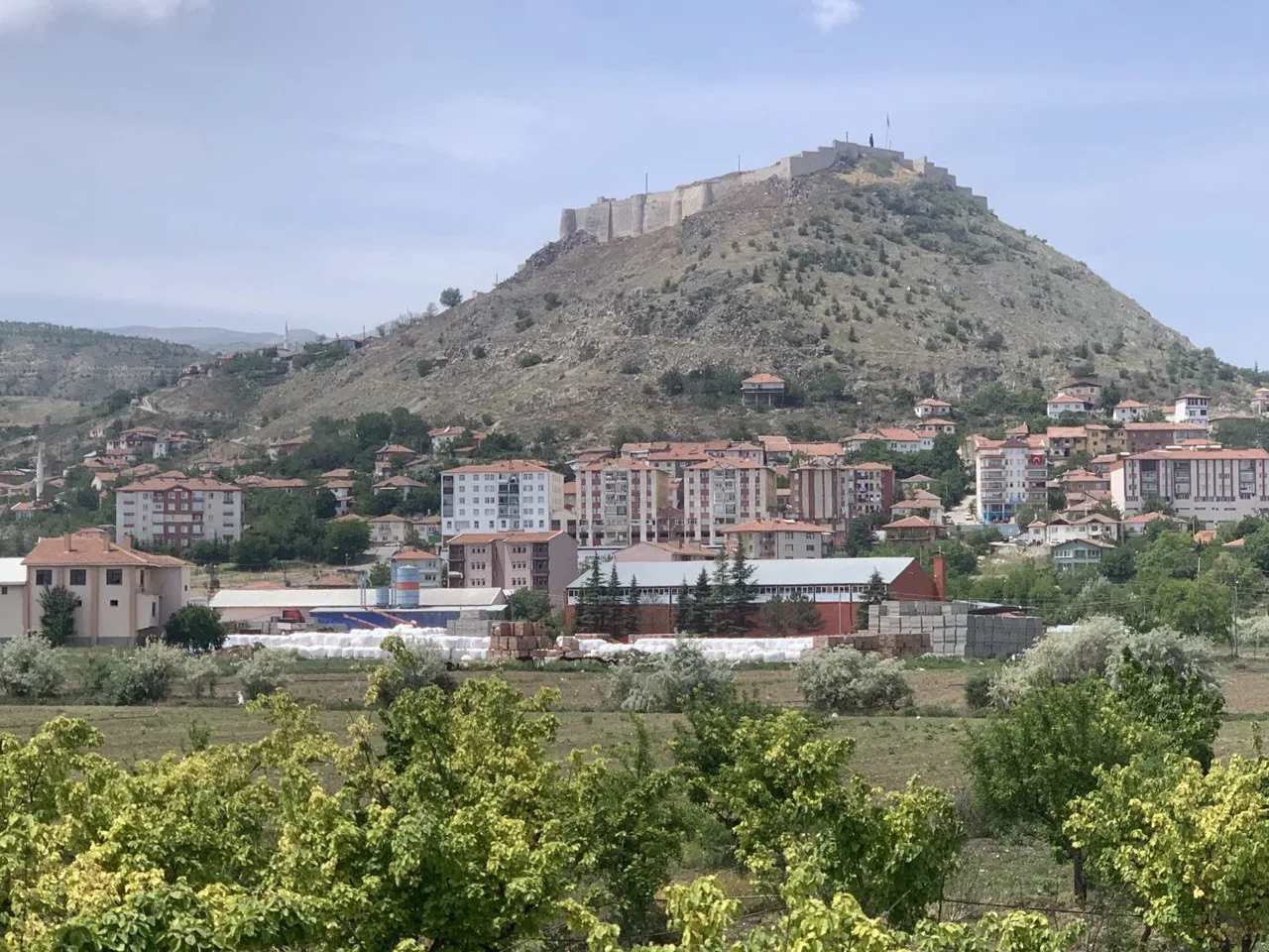
Kalecik is a municipality and district of Ankara Province, Turkey. Its area is 1,110 km2, and its population is 12,794 (2022). Its elevation is 725 m (2,379 ft). Kalecik stands on a plain with the eastern boundary formed by the River Kızılırmak while there are mountains to the south and the west. This agricultural district is known for its wine; other major crops include sugar beet and grains.
Read more on Wikipedia Text: Wikipedia contributors · CC BY-SA 4.0 · shortened
At a glance
- Area
- 1,340 km²
Source: Wikidata
In comparison
- Most populous of 51 places in Kalecik District
- Nearest larger town: Elmadağ, 25 km SW
- 2 sights and natural places within 10 km Bostanözü Çayı, Körpınar Çeşmesi
Nearby attractions & nature
Everything nearby-
Fincankaya Tepesi Mountain, Kalecik District12 km N
-
İdris Dağı Mountain, Kalecik District12 km SW
-
Çal Tepe Mountain, Kalecik District11 km NE
-
Bostanözü Çayı River, Ankara Province7.5 km W
-
Körpınar Çeşmesi Natural site, Ankara Province9.2 km NW
-
Karbasan Dağı Mountain, Çubuk District17 km NW
-
Taşavlağı Çeşmesi Natural site, Ankara Province11 km NE
-
Azı Tepe Mountain, Kalecik District19 km N
Sources & licences
Data last updated: · 2 independent sources