İçada
Located in Antalya Province, Turkey Coordinates: 36°08′08″ N 29°45′04″ E
- Elevation
- 40 m
- above sea level
- Local time
- UTC+03:00
- Europe/Istanbul · UTC+03:00
About İçada
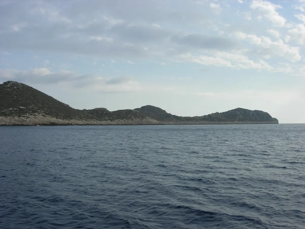
İçada is an island. Location: Antalya Province, Turkey.
İç Ada (lit. 'internal island'; Italian: Alimentaria) is a Turkish islet near Kaş in the homonymous district of Antalya province. It lies in the eastern Mediterranean Sea, about five nautical miles west-southwest of the island of Kekova, and about halfway between Kekova and the Greek islet of Stroggyli. The island has the shape of a right triangle elongated along a northeast-southwest axis, whose legs are 2.5 kilometres (1.6 miles) and 1.2 kilometres (0.7 miles) long.
Read more on Wikipedia Text: Wikipedia contributors · CC BY-SA 4.0 · shortened
In comparison
- 11 sights and natural places within 10 km Körmen Adası, Çılpacık Adası
Nearest towns and villages
Nearby attractions & nature
Everything nearby-
Çılpacık Adası Island, Antalya Province4 km W
-
Sıcak Yarımadası Natural site, Antalya Province4.4 km NE
-
Teke Yarımadası Natural site, Antalya Province4.5 km NW
-
Körmen Adası Island, Antalya Province3.9 km NW
-
Çam Dağı Mountain, Kaş İlçesi5.7 km N
-
Siğtaş Adası Island, Antalya Province6.6 km W
-
Kara Ada Island, Antalya Province8.3 km NE
-
Sarıada Island, Antalya Province8.3 km W
Sources & licences
Data last updated: · 2 independent sources