Anti-Taurus Mountains
Located in Turkey Coordinates: 37°55′00″ N 35°13′00″ E
- Elevation
- 3,080 m
- above sea level
- Local time
- UTC+03:00
- Europe/Istanbul · UTC+03:00
About Anti-Taurus Mountains
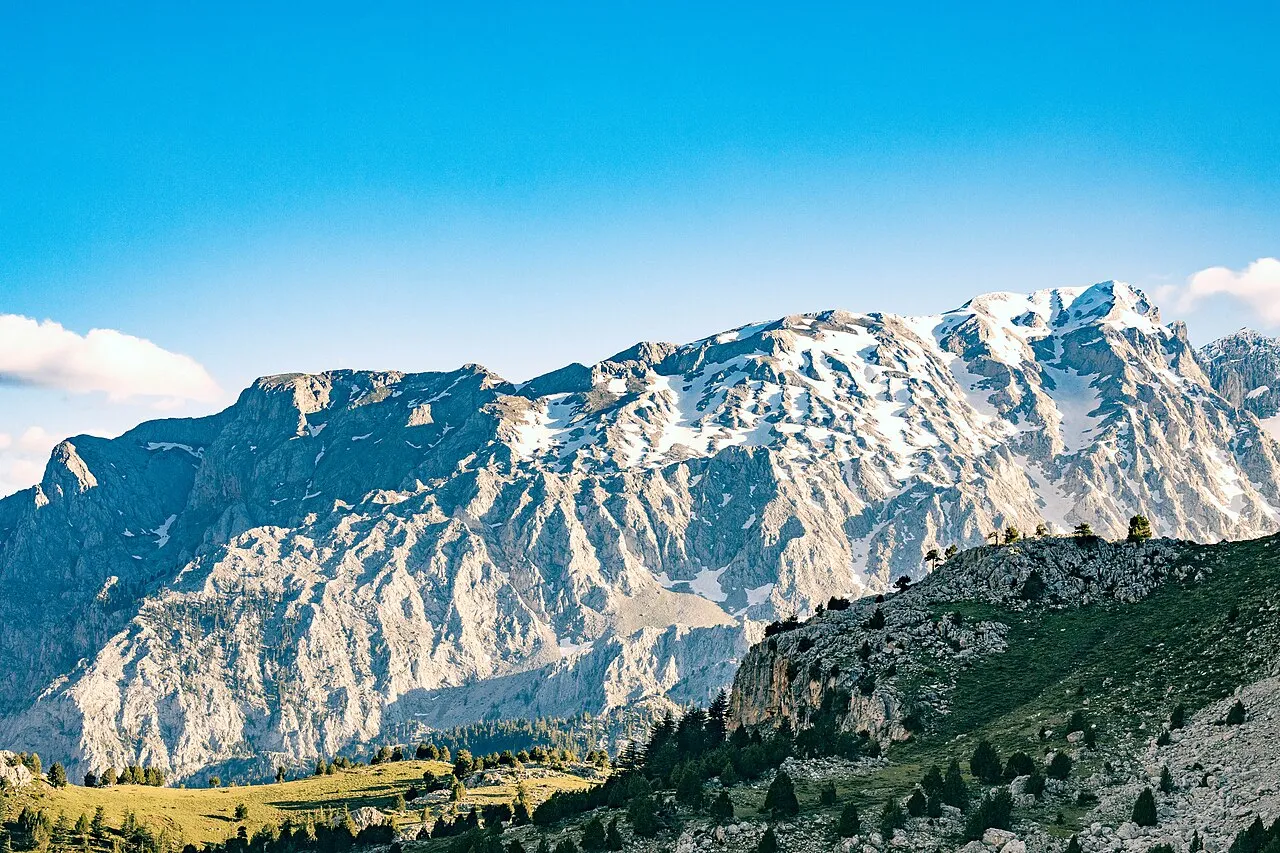
Anti-Taurus Mountains is a mountain. Location: Turkey. Elevation: 3,080 m.
The Anti-Taurus Mountains (from Greek: Αντίταυρος) or Aladaglar are a mountain range in southern and eastern Turkey, curving northeast from the Taurus Mountains. At 12,851 feet (3,917 m), Mount Erciyes (Turkish: Erciyes Dağı) is the highest peak not just in the range but in central Anatolia as a whole. It is a massive stratovolcano located in the northern part of the Anti-Taurus.
Read more on Wikipedia Text: Wikipedia contributors · CC BY-SA 4.0 · shortened
At a glance
- Length
- 60 km
- Area
- 550 km²
Source: Wikidata
In comparison
- No. 184 of 12182 mountains in Turkey by elevation
- 3 sights and natural places within 10 km Güneyyaka Tepesi, Orta Pınarı
Nearest towns and villages
-
Karapınar Yaylası Village, Çamardı District7 km W
-
Pınarbaşı Village, Çamardı District9.8 km W
-
Bademdere Village, Çamardı District13 km W
-
Sulucaova Village, Çamardı District12 km NW
-
Demirkazık Village, Çamardı District13 km SW
-
Yahyalı City, Yahyali24 km NE
Nearby attractions & nature
Everything nearby-
Güneyyaka Tepesi Mountain, Çamardı District6.2 km NW
-
Orta Pınarı Natural site, Kayseri Province7.5 km SE
-
Kızlarkaya Tepesi Mountain, Kayseri Province13 km N
-
Demirkazık Tepe Mountain, Yahyali12 km S
-
Aksu River, Turkey10 km E
-
Akçay Deresi River, Kayseri Province9 km E
-
Ayraklı Tepesi Mountain, Yahyali21 km N
-
Zincirli Tepe Mountain, Yahyali23 km NE
Sources & licences
Data last updated: · 2 independent sources