Arhavi
Local name: آرخوه
Located in Arhavi İlçesi, Artvin Province Coordinates: 41°21′04″ N 41°18′16″ E
- Population
- 16,217
- 16.2K
- Elevation
- 6 m
- above sea level
- Local time
- UTC+03:00
- Europe/Istanbul · UTC+03:00
About Arhavi
Arhavi is a city. Location: Arhavi İlçesi, Artvin Province. Population: 16,217. Elevation: 6 m.
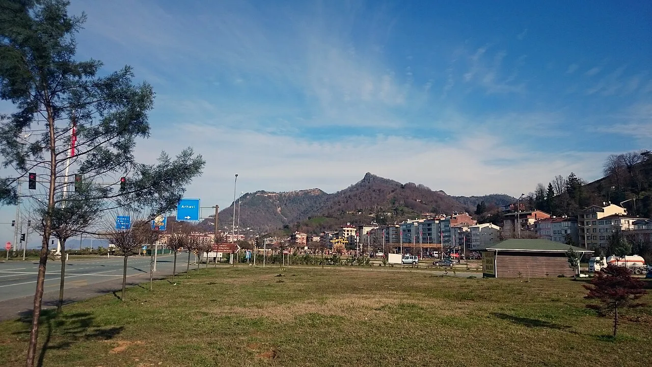
Arhavi (Laz: არქაბი/Arǩabi; Georgian: არქაბი/Arkabi) is a town in Artvin Province located in the Black Sea Region of Turkey. It is the seat of Arhavi District. Its population is 17,558 (2022), making it the third most populous municipality in Artvin Province. Laz people form a large portion of the population. The terrain is hilly and mountainous. Area of the city center is about 6 km2 (2.3 sq mi). The length of the coast is about 10 km (6.2 mi).
Read more on Wikipedia Text: Wikipedia contributors · CC BY-SA 4.0 · shortened
In comparison
- Most populous of 27 places in Arhavi İlçesi
- Nearest larger town: Hopa, 11 km NE
- 4 sights and natural places within 10 km Kabısra Çayı, İsina Tepesi
Nearby attractions & nature
Everything nearby-
Kabısra Çayı River, Artvin Province0.6 km W
-
İsina Tepesi Mountain, Arhavi İlçesi3.2 km SE
-
Chia Kalesi Historic site, Arhavi İlçesi3.8 km SE
-
Cifte Köprü Landmark, Arhavi İlçesi10 km SE
-
Mete Tepesi Mountain, Arhavi İlçesi16 km SE
-
Sazlık Tepesi Mountain, Rize Province12 km S
-
Sivritaş Tepesi Mountain, Arhavi İlçesi13 km E
-
Boğa Tepesi Mountain, Arhavi İlçesi22 km SE
Sources & licences
Data last updated: · 2 independent sources