Panionium
Located in Söke İlçesi, Aydın Province Coordinates: 37°42′14″ N 27°19′48″ E
- Local time
- UTC+03:00
- Europe/Istanbul · UTC+03:00
- Elevation
- 821 m
- above sea level
About Panionium
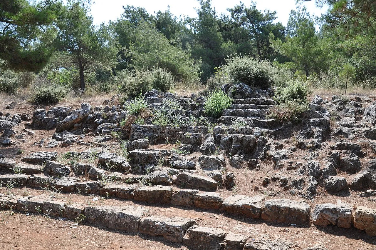
Panionium is a historic site. Location: Söke İlçesi, Aydın Province.
The Panionium (Ancient Greek: Πανιώνιον, Paniōnion) was an Ionian sanctuary dedicated to Poseidon Helikonios and the meeting place of the Ionian League. It was on the peninsula of Mt. Mycale, about 100 kilometres (62 mi) south of Smyrna—now İzmir, in Turkey. Herodotus describes it as follows: The Panionion is a sacred ground in Mykale, facing north; it was set apart for Poseidon of Helicon by the joint will of the Ionians.
Read more on Wikipedia Text: Wikipedia contributors · CC BY-SA 4.0 · shortened
In comparison
- 4 sights and natural places within 10 km Priene, Theatre of Priene
Nearby attractions & nature
Everything nearby-
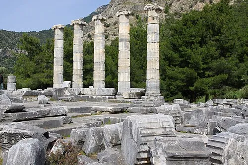 Priene Historic site, Söke İlçesi5.6 km SW
-
Theatre of Priene Historic site, Söke İlçesi5.7 km SW
-
Temple of Athena, Priene Historic site, Söke İlçesi5.8 km SW
-
Dilek Dağı Mountain, Turkey8.2 km SW
-
Durmuş Dağı Mountain, Söke İlçesi15 km NE
-
Öküz Mehmet Paşa Camisi Attraction, Kuşadası İlçesi18 km N
-
Öküz Mehmet Paşa Kervansarayı Historic site, Kuşadası İlçesi19 km N
-
Atatürk Anıtı Landmark, Kuşadası İlçesi19 km N
Nearest towns and villages
-
Akçakonak Village, Söke İlçesi3.3 km E
-
Ağaçlı Village, Söke İlçesi4 km N
-
Davutlar Town, Kuşadası İlçesi4.7 km NW
-
Güllübahçe Village, Söke İlçesi4.3 km S
Sources & licences
Data last updated: · 2 independent sources