Gümüşhane Province
Local name: Gümüşhane ili
Located in Turkey Coordinates: 40°15′00″ N 39°35′00″ E
- Population
- 142,617
- 142.6K
- Elevation
- 1,893 m
- above sea level
- Local time
- UTC+03:00
- Europe/Istanbul · UTC+03:00
- Places inside
- 63
- listed under Gümüşhane Province
About Gümüşhane Province
Gümüşhane Province is a region. Location: Turkey. Population: 142,617.
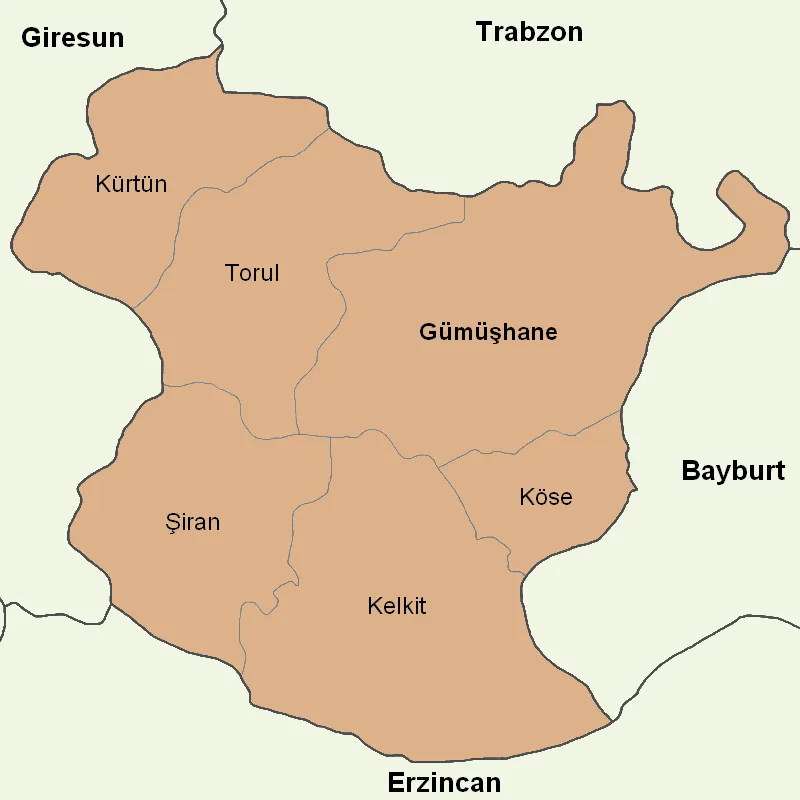
Gümüşhane Province (Turkish: Gümüşhane ili) is a province in northern Turkey, bordering Bayburt to the east, Trabzon to the north, Giresun and Erzincan to the west. Its area is 6,668 km2, and its population is 144,544 (2022). The population was 186,953 in 2000. Gümüşhane is the capital city of the province. The name Gümüşhane means silver house. The city has a rich mining (silver and bronze) history and was the source of exports for Trabzon. The current Governor is Alper Tanrısever, appointed in August 2023.
Read more on Wikipedia Text: Wikipedia contributors · CC BY-SA 4.0 · shortened
At a glance
- Area
- 6,575 km²
Source: Wikidata
In comparison
- 7 sights and natural places within 10 km Derin Dağ, Çadır Dağı
- Listed here: River: 35, Municipality: 7, District: 6, Natural site: 6
Places in Gümüşhane Province
63 places-
Gumushane District48.7K
-
Kelkit İlçesi District41.6K
-
Şiran İlçesi District18.1K
-
Kürtün İlçesi District13.7K
-
Torul İlçesi District10.8K
-
Köse District District7.4K
-
Eymür Village550
-
Alışyer Deresi River
-
Balahor Deresi River
-
Beş Göller Lake
-
Beytarla Deresi River
-
Çakır Gölü Lake
-
Çambaşı Deresi River
-
Çatalkaya Deresi River
-
Çataloluk Pınarı Natural site
-
Çibekler Deresi River
-
Çit Deresi River
-
Çömlecik Deresi River
-
Coruh River River
-
Çubuğunbaşı Kaptajı Natural site
-
Dayısı Deresi River
-
Değirmen Deresi River
-
Demirci Kaptajı Natural site
-
Demirkapı Deresi River
-
Dilekyolu Deresi River
-
Erikbeli Deresi River
-
Ertabil Deresi River
-
Gümüşane Deresi River
-
Gümüşhane Dağları Mountain
-
Gümüştuğ Deresi River
-
Hain Dere River
-
Harşit River River
-
Hasare River
-
İsmailoğlu Çeşmesi Natural site
-
Kale Bucağı Municipality
-
Karamustafa Deresi River
-
Kelkit Bucağı Municipality
-
Kırk Pınarlar Natural site
-
Kolat Dağları Mountain
-
Korum Deresi River
-
Köse Bucağı Municipality
-
Köse Deresi River
-
Koşmaşat Çayı River
-
Kurtoğlu Deresi River
-
Kürtün Bucağı Municipality
-
Kuşmaşat Deresi River
-
Mostorali Pınarı Natural site
-
Otlukbeli Dağları Mountain
-
Otlukbeli Dağları Mountain
-
Pirahmet Deresi River
-
Sağızlığın Deresi River
-
Salyazı Barajı Lake
-
Şiran Bucağı Municipality
-
Şiran Çayı River
-
Sobran Deresi River
-
Sümüklü Dere River
-
Tarla Deresi River
-
Taşkesen Tepesi Mountain
-
Torul Bucağı Municipality
-
Uzunoluk Deresi River
Largest cities and towns
Nature and heritage in Gümüşhane Province
-
Akdağ Mountain, Kelkit İlçesi
-
Ziyaret Dağı Mountain, Gumushane
-
Yayla Tepesi Mountain, Torul İlçesi
-
Yasdar Dağı Mountain, Gumushane
-
Yurt Tepesi Mountain, Kürtün İlçesi
-
Sarıç Dağı Mountain, Torul İlçesi
Other regions in Turkey
-
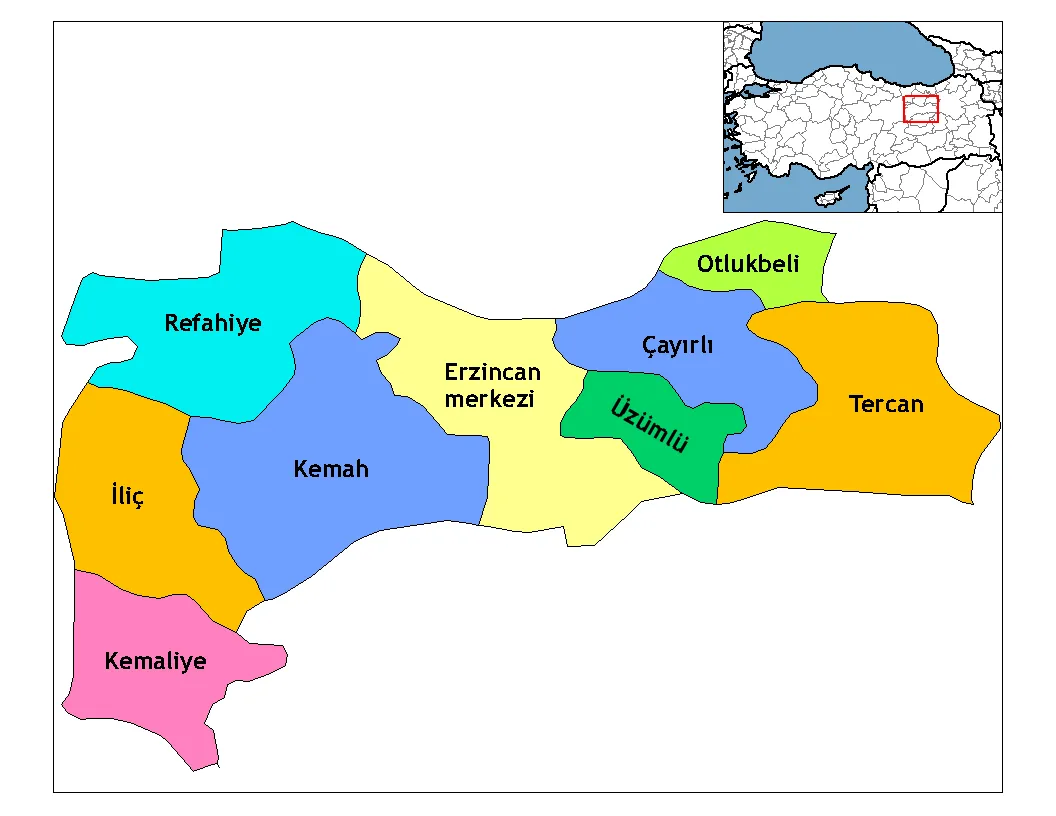 Erzincan Province Region, Turkey56 km S
-
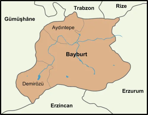 Bayburt Province Region, Turkey55 km E
-
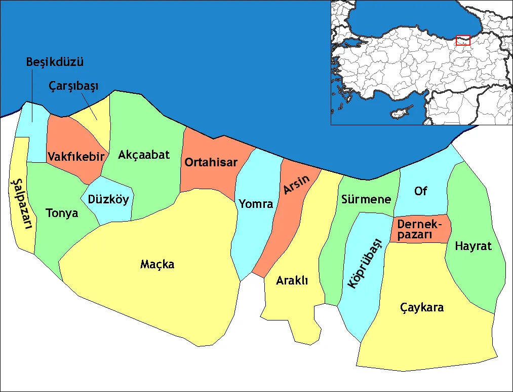 Trabzon Province Region, Turkey71 km N
-
Demirözü İlçesi District, Bayburt Province28 km E
-
Maçka District, Trabzon Province52 km N
-
Otlukbeli İlçesi District, Erzincan Province48 km SE
Sources & licences
Data last updated: · 2 independent sources