Çatladıkapı
Located in Fatih, Istanbul Coordinates: 41°00′07″ N 28°58′38″ E
- Elevation
- 0 m
- above sea level
- Local time
- UTC+03:00
- Europe/Istanbul · UTC+03:00
About Çatladıkapı
Çatladıkapı is a neighbourhood. Location: Fatih, Istanbul.
In comparison
- Nearest larger town: Sultanahmet, 0 km NE
- 107 sights and natural places within 10 km Church of the Virgin of the Pharos / Θεοτόκος τοῦ Φάρου / (Pharos on Bosphoros), Nea Ekklesia
Nearby attractions & nature
Everything nearby-
 Blue Mosque Attraction, Fatih0.4 km N
-
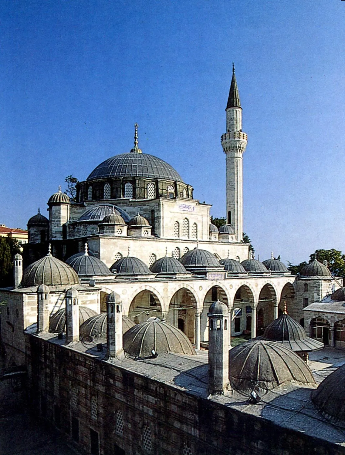 Sokollu Mehmet Pasha Mosque Attraction, Fatih0.5 km NW
-
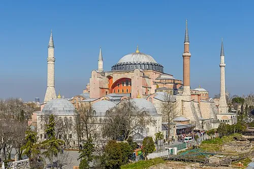 Hagia Sophia Attraction, Fatih0.8 km N
-
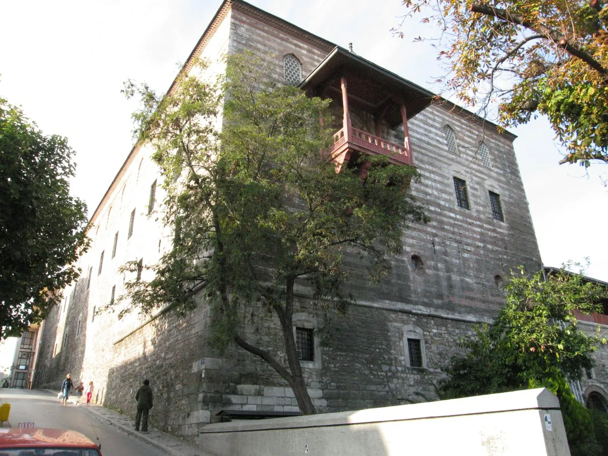 Turkish and Islamic Arts Museum Museum, Fatih0.5 km NW
-
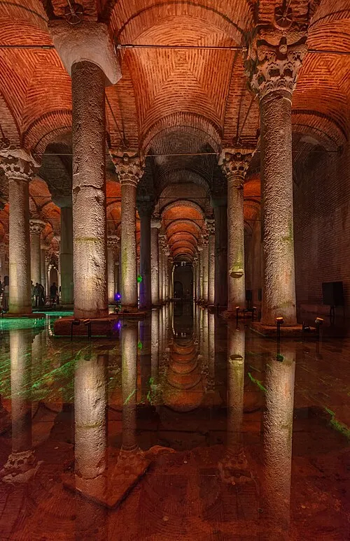 Basilica Cistern Historic site, Fatih0.7 km N
-
 Topkapı Palace Historic site, Fatih1.4 km NE
Sources & licences
Data last updated: