Erenköy
Located in Kadıköy, Istanbul Coordinates: 40°58′28″ N 29°04′28″ E
- Population
- 38,444
- 38.4K
- Elevation
- 45 m
- above sea level
- Local time
- UTC+03:00
- Europe/Istanbul · UTC+03:00
About Erenköy
Erenköy is a neighbourhood. Location: Kadıköy, Istanbul. Population: 38,444.
Erenköy is a neighbourhood in the Kadıköy district inside of Istanbul, Turkey. The population of Erenköy is 34,684 (2023). The area of the neighbourhood is 1.351 km2 (0.522 sq mi). The main axis and commercial center of the neighbourhood is the Ethem Efendi Avenue. The neighbourhood consists the Erenköy Girls High School, which is the only girls school in Istanbul. It is bordered by Göztepe to the west, Caddebostan and Suadiye to the south, and Sahrayıcedit and 19 Mayıs neighborhoods to the north.
Read more on Wikipedia Text: Wikipedia contributors · CC BY-SA 4.0 · shortened
At a glance
- Area
- 1.4 km²
Source: Wikidata
In comparison
- Most populous of 4 places in Kadıköy
- Nearest larger town: Ataşehir, 4 km E
- 67 sights and natural places within 10 km Kalamış Burnu, Fenerbahçe Şükrü Saracoğlu stadion
Airports nearest to Erenköy
- Istanbul Sabiha Gökçen International Airport (SAW) Pendik, Istanbul 21 km
- İstanbul Airport (IST) Istanbul 44 km
- Bursa Yenişehir Airport (YEI) Yenişehir 90 km
Straight-line distance; airports with scheduled flights only. Source: OurAirports (public domain).
Nearby attractions & nature
Everything nearby-
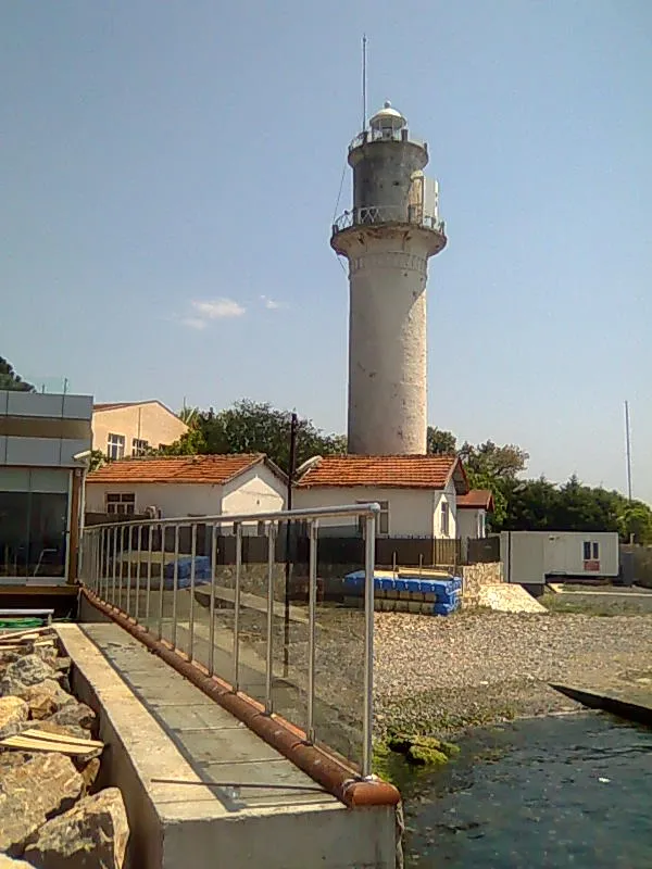 Fenerbahçe Lighthouse Landmark, Kadıköy3.6 km W
-
Kalamış Burnu Natural site, Kadıköy3.1 km W
-
Fenerbahçe Şükrü Saracoğlu stadion Landmark, Kadıköy3.5 km NW
-
Kurbağalı Dere River, Kadıköy3.6 km W
-
Boğaziçi Köprüsü Landmark, Istanbul3.6 km SW
-
Kalamış Koyu Natural site, Istanbul3.6 km W
Sources & licences
Data last updated: · 2 independent sources