Merter
Located in Istanbul, Turkey Coordinates: 41°00′28″ N 28°53′46″ E
- Elevation
- 16 m
- above sea level
- Local time
- UTC+03:00
- Europe/Istanbul · UTC+03:00
About Merter
Merter is a municipality. Location: Istanbul, Turkey. Elevation: 16 m.
In comparison
- Nearest larger town: Güngören Merter, 1 km W
- 95 sights and natural places within 10 km Ayvalıdere Köprüsü, Chapel of Saint Sarkis
Nearby attractions & nature
Everything nearby-
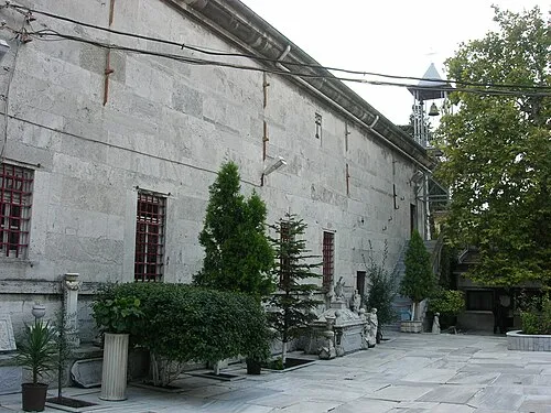 Church of Saint Mary of the Spring Attraction, Zeytinburnu1.7 km E
-
Ayvalıdere Köprüsü Landmark, Esenler1.5 km N
-
Çırpıcı Deresi Köprüsu Landmark, Güngören1.6 km NW
-
Chapel of Saint Sarkis Attraction, Zeytinburnu1.6 km E
-
Hagios Mamas Attraction, Fatih2.7 km E
-
Golden Gate (Constantinople) Historic site, Fatih2.8 km SE
-
Yedikule Fortress Historic site, Fatih2.8 km SE
-
Chruch of Hagios Diomedes of Jerusalem Historic site, Fatih2.8 km SE
Sources & licences
Data last updated: