Oxia Island
Located in Istanbul, Turkey Coordinates: 40°52′32″ N 28°58′18″ E
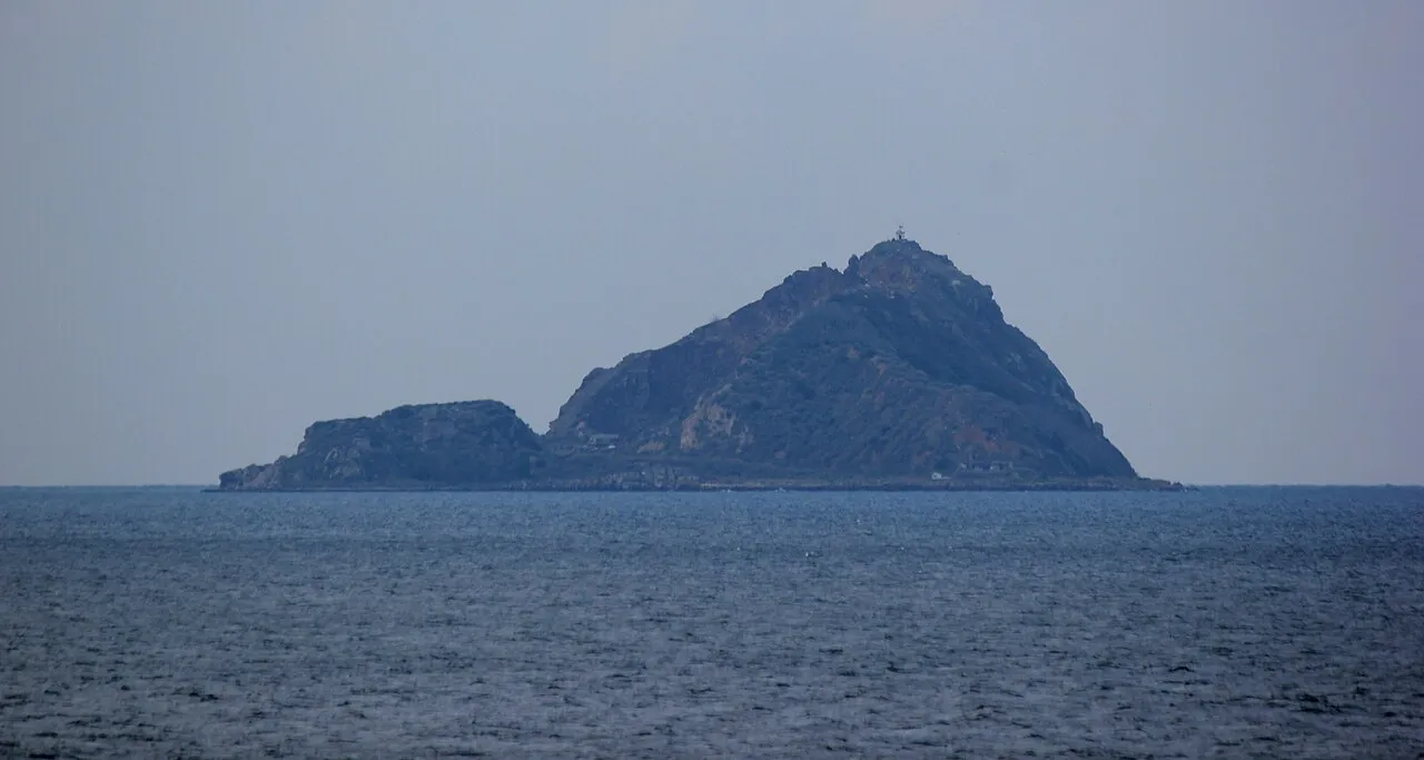
- Elevation
- 38 m
- above sea level
- Local time
- UTC+03:00
- Europe/Istanbul · UTC+03:00
About Oxia Island
Oxia Island is an island. Location: Istanbul, Turkey.
Sivriada (Greek: Ὀξεία, Oxeia) also known as Hayırsızada, is one of the Princes' Islands in the Sea of Marmara, near Istanbul. The island, which has an area of 0.05 km², is officially a neighbourhood in the Adalar district of Istanbul, Turkey.
Read more on Wikipedia Text: Wikipedia contributors · CC BY-SA 4.0 · shortened
At a glance
- Length
- 0.4 km
- Area
- 5 ha
Source: Wikidata
In comparison
- 6 sights and natural places within 10 km Plati Island, Proti Island
Nearest towns and villages
-
Kınalı Village, Adalar7.8 km NE
-
Burgaz Village, Adalar7.9 km E
-
Heybeliada Village, Adalar9.9 km E
-
Zeytinburnu City, Zeytinburnu14 km NW
-
Adalar City, Adalar14 km E
-
Heybeli Village, Istanbul9.5 km E
Nearby attractions & nature
Everything nearby-
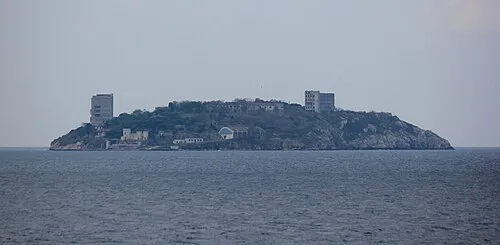 Plati Island Island, Istanbul2.2 km SE
-
Proti Island Island, Istanbul7.5 km NE
-
Antigone Island Island, Istanbul7.6 km E
-
Princes Islands Island, Istanbul7.7 km E
-
Pita Island Island, Istanbul9 km E
-
Kalamış Koyu Natural site, Istanbul11 km NE
-
Halki Island Island, Istanbul9.9 km E
-
Prinkipo Island Island, Istanbul13 km E
Sources & licences
Data last updated: · 2 independent sources