Kurtuluş
Located in Şişli, Istanbul Coordinates: 41°02′43″ N 28°58′43″ E
- Elevation
- 85 m
- above sea level
- Local time
- UTC+03:00
- Europe/Istanbul · UTC+03:00
About Kurtuluş
Kurtuluş is a neighbourhood. Location: Şişli, Istanbul.
Kurtuluş is a neighbourhood of the Şişli district of Istanbul that was originally called Tatavla, meaning 'stables' in Greek (Greek: Ταταύλα). The modern Turkish name means "liberation", "salvation", "independence" or "deliverance". On 13 April 1929, six years after the Republic of Turkey was founded, a fire swept through the neighbourhood and largely destroyed it, with 207 houses going up in flames. The name was changed to Kurtuluş to mark the rebuilding of the area.
Read more on Wikipedia Text: Wikipedia contributors · CC BY-SA 4.0 · shortened
In comparison
- Nearest larger town: Harbiye, 1 km E
- 115 sights and natural places within 10 km Istanbul Military Museum, Cemil Topuzlu Open-Air Theatre
Nearby attractions & nature
Everything nearby-
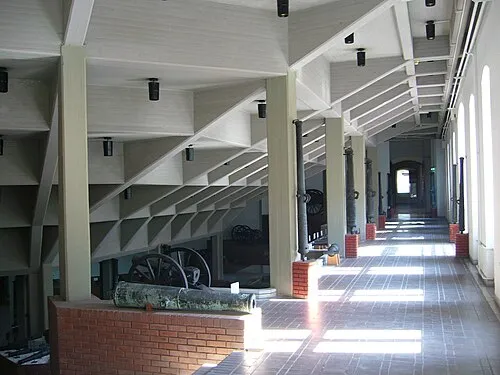 Istanbul Military Museum Museum, Şişli0.8 km E
-
Cemil Topuzlu Open-Air Theatre Attraction, Şişli1 km E
-
Maçka Park Natural site, Şişli1.3 km E
-
Taksim Gezi Park Natural site, Beyoğlu1 km SE
-
Atatürk Cultural Center Attraction, Beyoğlu1.2 km SE
-
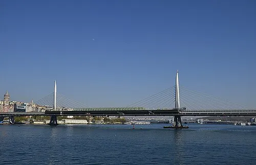 Golden Horn Metro Bridge Landmark, Beyoğlu2.7 km S
Sources & licences
Data last updated: · 2 independent sources