Menderes
Located in Menderes District, İzmir Province Coordinates: 38°14′59″ N 27°08′03″ E
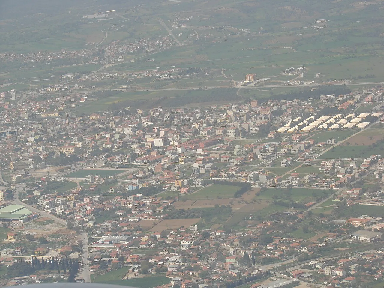
- Population
- 21,965
- 22K
- Elevation
- 118 m
- above sea level
- Local time
- UTC+03:00
- Europe/Istanbul · UTC+03:00
About Menderes
Menderes is a city. Location: Menderes District, İzmir Province. Population: 21,965. Elevation: 118 m.
Menderes is a municipality and district of İzmir Province, Turkey. Its area is 777 km2, and its population is 106,173 (2022).
Read more on Wikipedia Text: Wikipedia contributors · CC BY-SA 4.0 · shortened
At a glance
- Area
- 777 km²
Source: Wikidata
In comparison
- Most populous of 4 places in Menderes District
- Nearest larger town: Karabağlar, 15 km N
Nearby attractions & nature
Everything nearby-
Çubuklu Dağ Mountain, Menderes District8.6 km SW
-
Karacadağ Mountain, Menderes District21 km S
-
Tekkedağı Tepe Mountain, Karabağlar13 km NW
-
Catalkaya Tepesi Mountain, Narlıdere19 km NW
-
Dikmen Dağı Mountain, İzmir Province16 km NW
-
Cumaovasi transmitter, Mast West Landmark, Torbalı District11 km E
-
Cumaovasi transmitter, Mast East Landmark, Torbalı District11 km E
-
Colophon, Greek Bath Historic site, Menderes District16 km S
Sources & licences
Data last updated: · 2 independent sources