Teos
Located in Seferihisar District, İzmir Province Coordinates: 38°10′38″ N 26°47′06″ E
- Local time
- UTC+03:00
- Europe/Istanbul · UTC+03:00
- Elevation
- 13 m
- above sea level
About Teos
Teos is a historic site. Location: Seferihisar District, İzmir Province.
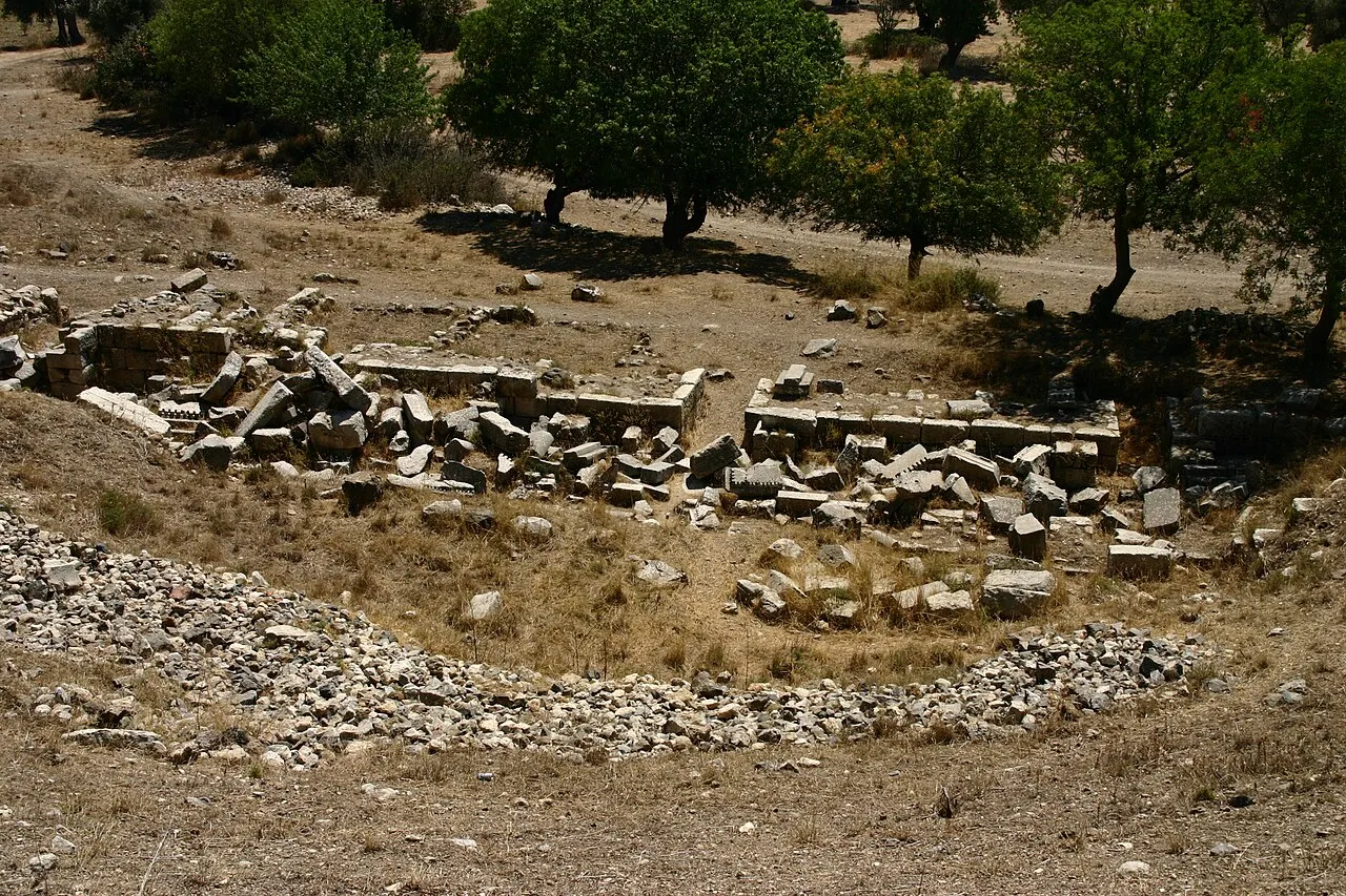
Teos (Ancient Greek: Τέως) or Teo was an ancient Greek city on the coast of Ionia, on a peninsula between Chytrium and Myonnesus. It was founded by Minyans from Orchomenus, Ionians and Boeotians, but the date of its foundation is unknown. Teos was one of the twelve cities which formed the Ionian League. The city was situated on a low hilly isthmus. Its ruins are located to the south of the modern town of Sığacık in the Seferihisar district of İzmir Province, Turkey.
Read more on Wikipedia Text: Wikipedia contributors · CC BY-SA 4.0 · shortened
In comparison
- 8 sights and natural places within 10 km Teos Bay, Çiçek Adası
Nearby attractions & nature
Everything nearby-
Teos Bay Natural site, İzmir Province1.2 km SE
-
Çiçek Adası Island, İzmir Province2.4 km SE
-
Eşek Adası Island, İzmir Province2.7 km NW
-
Küçük Adaları Island, İzmir Province3.3 km SE
-
Yassı Dere River, İzmir Province3.3 km SE
-
Azmak Deresi River, İzmir Province5.3 km NW
-
Palamo Island Island, İzmir Province7 km SE
-
Sighajik Bay Natural site, İzmir Province7.2 km W
Nearest towns and villages
-
Siğacık Village, Seferihisar District1.8 km N
-
Seferihisar City, Seferihisar District5.2 km NE
-
Tepecik Village, Seferihisar District6.6 km SE
-
Düzce Village, Seferihisar District7.6 km N
Sources & licences
Data last updated: · 2 independent sources