İlisi Çayı
Located in Kastamonu Province, Turkey Coordinates: 41°58′32″ N 33°58′28″ E
- Elevation
- 41 m
- above sea level
- Local time
- UTC+03:00
- Europe/Istanbul · UTC+03:00
About İlisi Çayı
İlisi Çayı is a river. Location: Kastamonu Province, Turkey.
Nearest towns and villages
-
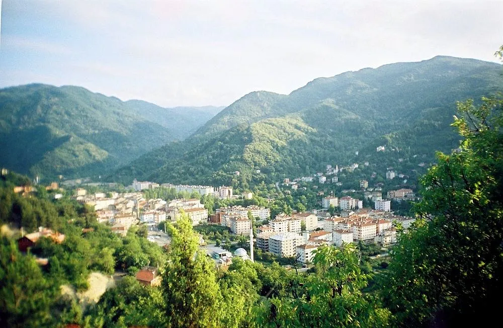 Bozkurt City, Bozkurt İlçesi3.6 km SE
-
Abana City, Abana İlçesi3 km E
-
Yakaören Village, Bozkurt İlçesi0.5 km NW
-
Abana Bucağı Municipality, Kastamonu Province2.3 km E
-
Güngören Village, Bozkurt İlçesi1.4 km E
-
Bozkurt Bucağı Municipality, Kastamonu Province3.5 km SE
Nearby attractions & nature
Everything nearby-
Abana Deresi River, Kastamonu Province2 km E
-
Zerva Çayı River, Kastamonu Province11 km SW
-
Ulu Tepe Mountain, Çatalzeytin İlçesi18 km E
-
Kayaklı Tepe Mountain, Çatalzeytin İlçesi13 km E
-
Dikmen Tepesi Mountain, İnebolu İlçesi16 km SW
-
Çukur Pınarı Natural site, Kastamonu Province22 km S
-
Yumak Tepesi Mountain, Bozkurt İlçesi16 km S
-
Fındıklı Tepe Mountain, Bozkurt İlçesi16 km SE
Sources & licences
Data last updated: