Çiftlik
Located in Tarsus, Mersin Province Coordinates: 37°07′54″ N 34°49′48″ E
- Population
- 278
- 278
- Elevation
- 605 m
- above sea level
- Local time
- UTC+03:00
- Europe/Istanbul · UTC+03:00
About Çiftlik
Çiftlik is a village. Location: Tarsus, Mersin Province. Population: 278. Elevation: 605 m.
Çiftlik is a neighbourhood in the municipality and district of Tarsus, Mersin Province, Turkey. Its population is 278 (2022). It is situated in the southern slopes of the Taurus Mountains to the west of Turkish state highway D.750. The distance to Tarsus is 20 kilometres (12 mi) and the distance to Mersin is 50 kilometres (31 mi). The main agricultural product of the village is grape.
Read more on Wikipedia Text: Wikipedia contributors · CC BY-SA 4.0 · shortened
In comparison
- No. 66 of 120 places in Tarsus by population
- Nearest larger town: Alibeyli, 2 km SE
- 5 sights and natural places within 10 km Gülek Deresi, Biber Tepesi
Nearby attractions & nature
Everything nearby-
Biber Tepesi Mountain, Tarsus2.3 km NW
-
Gülek Deresi River, Mersin Province1.2 km SW
-
Kadıncık Deresi River, Mersin Province5.7 km SW
-
İnköyü Deresi River, Mersin Province6 km W
-
Çevrik Tepe Mountain, Tarsus10 km NW
-
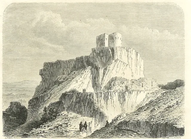 Lampron Castle Historic site, Çamlıyayla İlçesi21 km W
Sources & licences
Data last updated: · 2 independent sources