Ulaş
Located in Tarsus, Mersin Province Coordinates: 36°59′50″ N 34°46′56″ E
- Population
- 1,274
- 1.3K
- Elevation
- 309 m
- above sea level
- Local time
- UTC+03:00
- Europe/Istanbul · UTC+03:00
About Ulaş
Ulaş is a village. Location: Tarsus, Mersin Province. Population: 1,274. Elevation: 309 m.
Ulaş is a neighbourhood in the municipality and district of Tarsus, Mersin Province, Turkey. Its population is 1,274 (2022). It is situated on the lower slopes of the Toros Mountains and on the road connecting Tarsus to Çamlıyayla. It is 12 kilometres (7.5 mi) northwest of Tarsus. According to Ulaş school page the village was founded as the winter settlement of the Turkmen nomads after 1375. The main economic sector of the village is viticulture. Olives and various fruits are also produced.
Read more on Wikipedia Text: Wikipedia contributors · CC BY-SA 4.0 · shortened
In comparison
- No. 10 of 120 places in Tarsus by population
- Nearest larger town: Bolatlı, 12 km SE
Nearby attractions & nature
Everything nearby-
Keşbükü Köprüsü Landmark, Tarsus3.6 km NW
-
Kuzgun Tepesi Mountain, Tarsus11 km W
-
Tepetaş Tepesi Mountain, Tarsus14 km NW
-
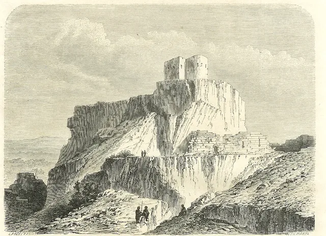 Lampron Castle Historic site, Çamlıyayla İlçesi25 km NW
-
Biber Tepesi Mountain, Tarsus16 km N
-
Yirmiyedi Aralık Stadyumu Landmark, Tarsus13 km SE
Sources & licences
Data last updated: · 2 independent sources