Muğla Province
Local name: Muğla ili
Located in Turkey Coordinates: 37°13′49″ N 28°21′21″ E
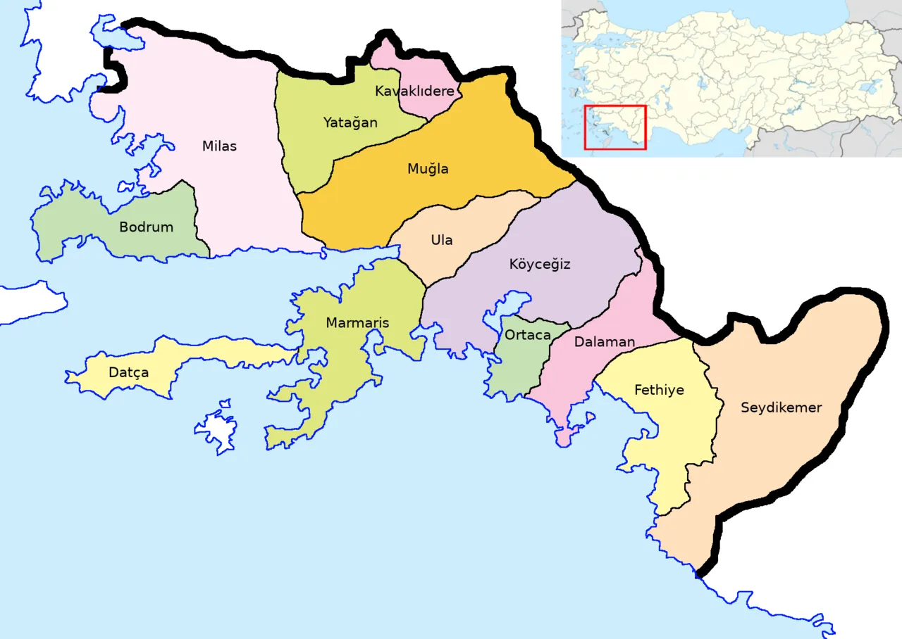
- Population
- 1,048,185
- 1M
- Elevation
- 854 m
- above sea level
- Local time
- UTC+03:00
- Europe/Istanbul · UTC+03:00
- Places inside
- 334
- listed under Muğla Province
About Muğla Province
Muğla Province is a region. Location: Turkey. Population: 1,048,185.
Muğla Province (Turkish: Muğla ili, pronounced [muːɫa iˈli]) is a province and metropolitan municipality of Turkey, at the country's southwestern corner, on the Aegean Sea. Its area is 12,654 km2, and its population is 1,048,185 (2022). Its seat is the city of Muğla, about 20 km (12 mi) inland, while some of Turkey's largest holiday resorts, such as Bodrum, Ölüdeniz, Marmaris and Fethiye, lie on the coast.
Read more on Wikipedia Text: Wikipedia contributors · CC BY-SA 4.0 · shortened
At a glance
- Area
- 13,338 km²
Source: Wikidata
In comparison
- 3 sights and natural places within 10 km Kertel Dağı, Yılanlı Dağ
- Listed here: Island: 108, River: 98, Natural site: 55, Municipality: 24
Places in Muğla Province
334 places-
Fethiye District177.7K
-
Bodrum District140.7K
-
Milas District129.1K
-
Menteşe District124.8K
-
Marmaris District97.8K
-
Seydikemer District59.7K
-
Ortaca Bucağı Municipality52.9K
-
Yatağan District45.3K
-
Dalaman Bucağı Municipality44.4K
-
Ortaca İlçesi District44.2K
-
Dalaman District35.4K
-
Köyceğiz İlçesi District33.8K
-
Ula İlçesi District23.4K
-
Datça İlçesi District18K
-
Kavaklıdere District10.9K
-
Adatepebükü Natural site
-
Ağaçbaşı Limanı Natural site
-
Akçalı Adası Island
-
Akçay River
-
Akyol Deresi River
-
Alağün Adası Island
-
Anani Adası Island
-
Arap Adası Island
-
Asın Village
-
Aşlama Çeşmesi Natural site
-
Aydınlar Village
-
Aygır Deresi River
-
Ayvacık Village
-
Balaban Adası Island
-
Baldıranlı Dere River
-
Bardakçı Plajı Beach
-
Başpınar Deresi River
-
Bedir Adası Island
-
Belara Deresi River
-
Belceğiz Körfezi Natural site
-
Belen Pınar Natural site
-
Bencik Deresi River
-
Bent Deresi River
-
Beşparmak Dağları Mountain
-
Bodrum Bucağı Municipality
-
Boncuk Dağları Mountain
-
Bördübet Deresi River
-
Bozasar Deresi River
-
Bozburun Municipality
-
Bozburun Yarımadası Natural site
-
Budrum Bay Natural site
-
Bulgaz Koyu Natural site
-
Büyük Adası Island
-
Büyükhurma Deresi River
-
Büyükkiremit Adası Island
-
Büyük Koy Natural site
-
Çal Dağı Mountain
-
Çal Deresi River
-
Çaltaca Koyu Natural site
-
Çam Limanı Natural site
-
Çam Tepe Mountain
-
Çatal Ada Island
-
Çatal Adaları Island
-
Çatal Adası Island
-
Çatal Adası Island
Largest cities and towns
Nature and heritage in Muğla Province
-
Yılanlı Dağ Mountain, Menteşe
-
Uyluk Tepe Mountain, Seydikemer
-
Sarnıç Dağı Mountain, Menteşe
-
Sandık Dağı Mountain, Seydikemer
-
Pazar Dağı Mountain, Bodrum
-
Oyuklu Dağ Mountain, Bodrum
Other regions in Turkey
-
Aydın Province Region, Turkey66 km NW
-
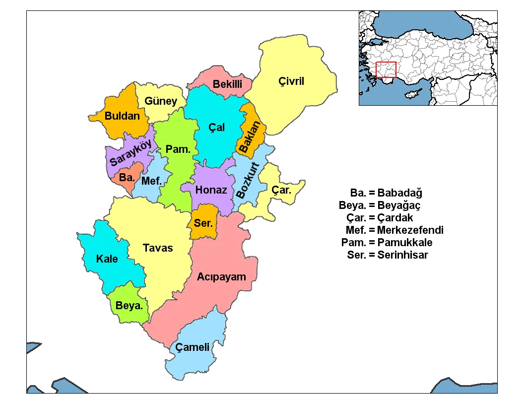 Denizli Province Region, Turkey93 km NE
-
Çine İlçesi District, Aydın Province50 km NW
-
Kale İlçesi District, Denizli Province50 km NE
-
Beyağaç İlçesi District, Denizli Province48 km E
-
Karacasu District, Aydın Province61 km N
Sources & licences
Data last updated: · 2 independent sources