Karmravank
Located in Gevaş İlçesi, Van Province Coordinates: 38°22′21″ N 42°54′15″ E
- Local time
- UTC+03:00
- Europe/Istanbul · UTC+03:00
- Elevation
- 1,953 m
- above sea level
About Karmravank
Karmravank is a tourist attraction. Location: Gevaş İlçesi, Van Province.
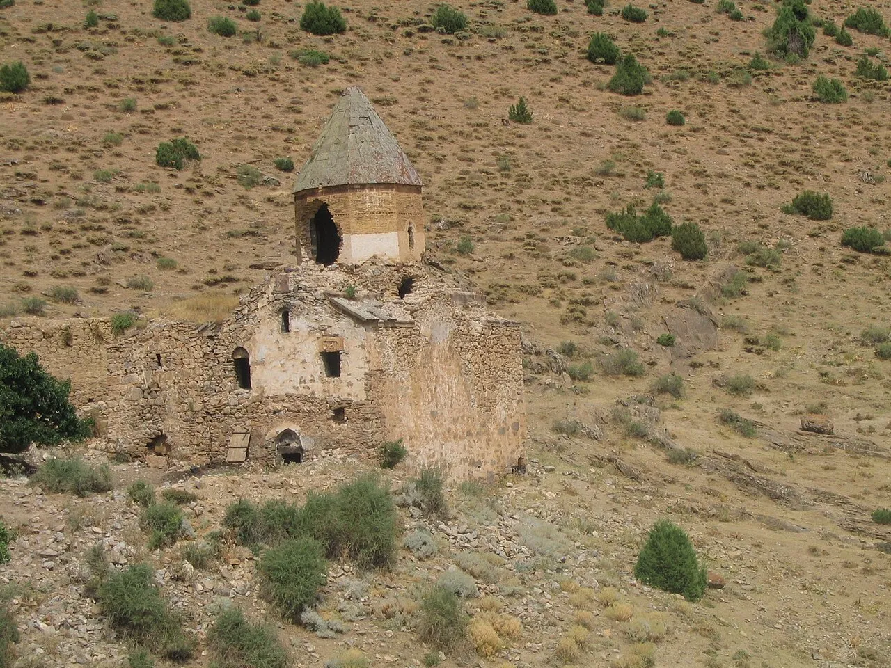
Karmravank (Armenian: Կարմրավանք, meaning Red Monastery) is an abandoned 10th century Armenian monastery in the Vaspurakan province of historic Armenia (now in the Van Province of Turkey). It was founded by King Gagik I (908–943) of the Artsruni dynasty. It is located 12 kilometers west-northwest of Akdamar Island. Completed in the 10th century AD, the Red Monastery ceased functioning as a monastery due to the Armenian genocide in the Ottoman Empire which began in 1915.
Read more on Wikipedia Text: Wikipedia contributors · CC BY-SA 4.0 · shortened
At a glance
- Built
- 10th century
- Architectural style
- Armenian architecture
Source: Wikidata
In comparison
- 17 sights and natural places within 10 km Havatarık Tepesi, Evegeh Pınarları
Nearby attractions & nature
Everything nearby-
Havatarık Tepesi Mountain, Gevaş İlçesi1.6 km W
-
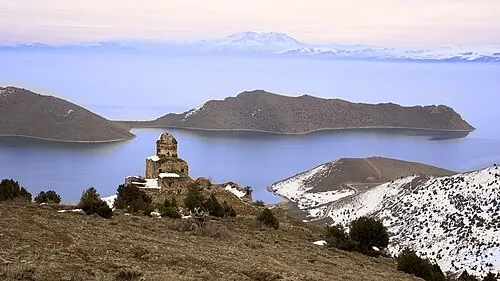 Monastery of Saint Thomas Attraction, Gevaş İlçesi5.6 km NW
-
Evegeh Pınarları Natural site, Van Province2.1 km NW
-
Varis Historic site, Gevaş İlçesi6.4 km N
-
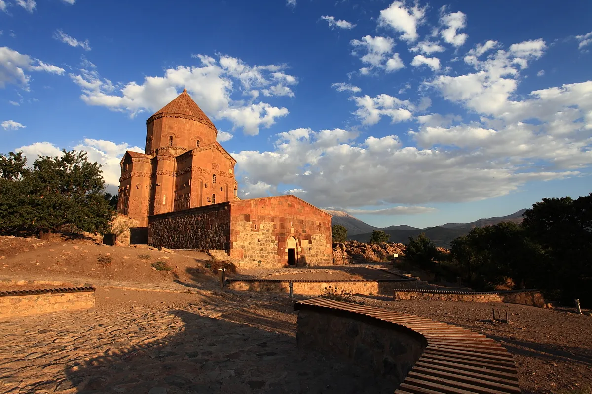 Cathedral of the Holy Cross Attraction, Gevaş İlçesi12 km E
-
Satvan Deresi River, Van Province4.4 km S
-
Büyük Tepe Mountain, Gevaş İlçesi7.4 km N
-
Mezra Deresi River, Van Province5.2 km N
Nearest towns and villages
Sources & licences
Data last updated: · 2 independent sources