Cardington
Located in Bedford, England Coordinates: 52°06′39″ N 0°24′09″ W
- Elevation
- 26 m
- above sea level
- Local time
- UTC+00:00
- Europe/London · UTC+00:00
- Places inside
- 1
- listed under Cardington
About Cardington
Cardington is a municipality. Location: Bedford, England. Elevation: 26 m.
In comparison
- Nearest larger town: Cardington, 1 km NW
- 24 sights and natural places within 10 km Longholme Island, Risinghoe Castle Mills
Airports nearest to Cardington
- London Luton Airport (LTN) Luton, Luton 26 km
- London Stansted Airport (STN) London, Essex 50 km
- London Heathrow Airport (LHR) London 71 km
Straight-line distance; airports with scheduled flights only. Source: OurAirports (public domain).
Places in Cardington
1 place-
Cardington Village288
Nearby attractions & nature
Everything nearby-
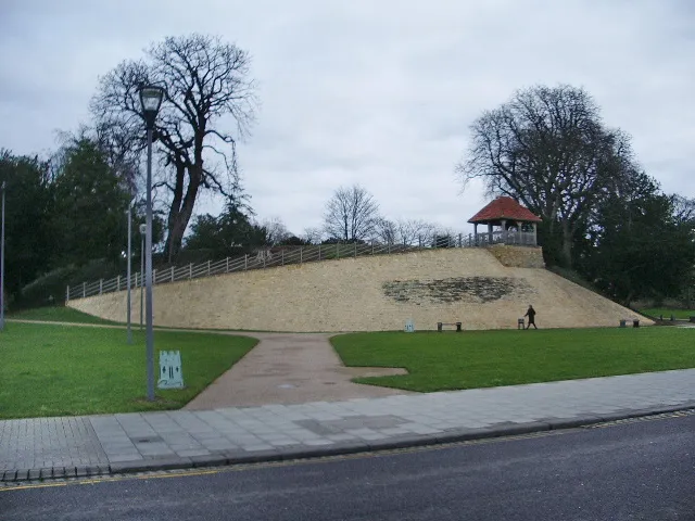 Bedford Castle Historic site, Bedford5 km NW
-
Risinghoe Castle Mills Historic site, Bedford3.9 km N
-
Longholme Island Island, Bedford3.9 km NW
-
Butterfly Bridge Landmark, Bedford4.3 km NW
-
Bedford Suspension Bridge Landmark, Bedford4.5 km NW
-
Goldington Road Landmark, Bedford5 km NW
-
Rink Islands Island, Bedford4.9 km NW
-
Town Bridge Landmark, Bedford5.1 km NW
Sources & licences
Data last updated: