Radwell
Located in Felmersham, Bedford Coordinates: 52°12′22″ N 0°31′52″ W
- Elevation
- 46 m
- above sea level
- Local time
- UTC+00:00
- Europe/London · UTC+00:00
About Radwell
Radwell is a village. Location: Felmersham, Bedford. Elevation: 46 m.
Radwell is a hamlet in the Hundred of Willey in North Bedfordshire, England, on the River Great Ouse, about 7 miles (11 km) north west of Bedford. Administratively, it is often included with the neighbouring village of Felmersham, and the civil parish is sometimes known as Felmersham with Radwell. Excavations of the gravel pits to the north of the settlement showed evidence of occupation during the Roman period, with a field and ditch system and the remains of two timber buildings, probably a farmstead.
Read more on Wikipedia Text: Wikipedia contributors · CC BY-SA 4.0 · shortened
In comparison
- Nearest larger town: Milton Ernest, 2 km SE
- 24 sights and natural places within 10 km Pinchmill Islands, Perch Islands
Airports nearest to Radwell
- London Luton Airport (LTN) Luton, Luton 39 km
- London Stansted Airport (STN) London, Essex 64 km
- London Heathrow Airport (LHR) London 82 km
Straight-line distance; airports with scheduled flights only. Source: OurAirports (public domain).
Nearby attractions & nature
Everything nearby-
Pinchmill Islands Island, Felmersham1.6 km NW
-
Perch Islands Island, Odell1.8 km W
-
Bletsoe Castle Historic site, Milton Ernest2.5 km SE
-
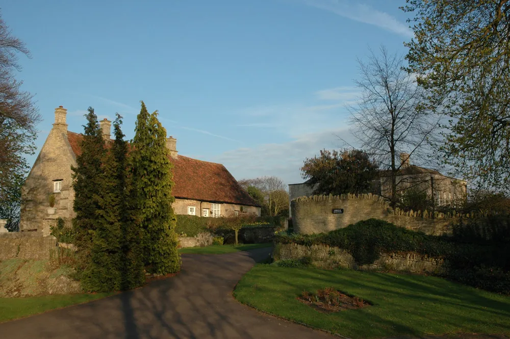 Odell Castle Historic site, Odell3.9 km W
-
Sharnbrook Historic site, Sharnbrook2.6 km NW
-
Dick's Island Island, Pavenham2.5 km S
Sources & licences
Data last updated: · 2 independent sources